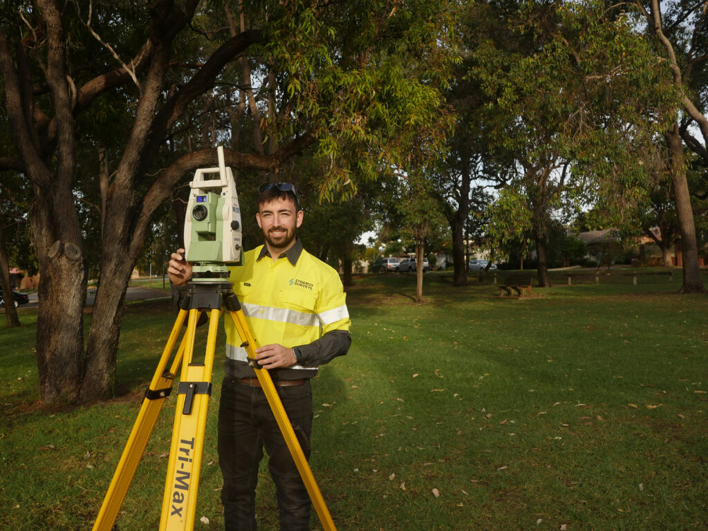
Synergy Surveys offers a wide range of surveying and spatial services throughout Western Australia. We specialize in Engineering and Construction Surveying, Aerial mapping, Machine Control, Site Services, and Geospatial solutions.
From accurate measurements to detailed aerial imagery, our expert team delivers precise data for optimal project outcomes.
Whether you’re in Perth Metro, The Pilbara, goldfields, or Wheatbelt regions, trust Synergy Surveys for professional surveying expertise.
From civil infrastructure to mine construction, we take pride in our ability to handle even the most complex projects with ease.
We can establish and maintain machine control, GNSS base stations, and control networks for your project on-site.
© 2024 synergy surveys all rights reserved | Website designed & developed by tolmer group