
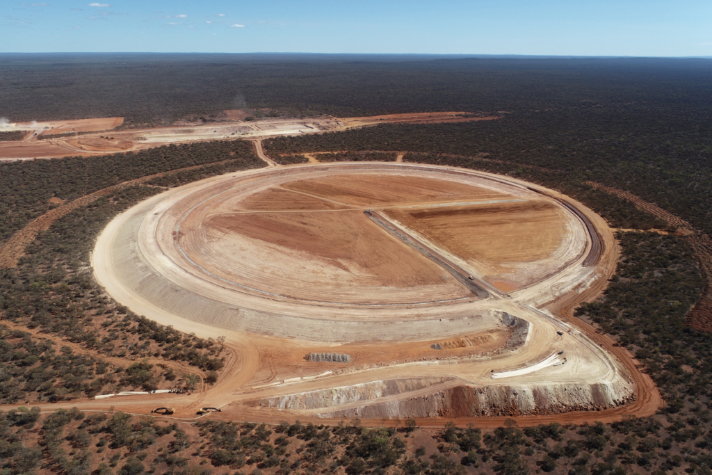
Our UAVs/UASs are equipped with high-quality imaging sensors that allow us to capture the data needed for your projects.
We use cutting-edge software, techniques, and high computing power to process this data and ensure that accurate and high-quality results are achieved in a timely manner. Using Photogrammetry and LiDAR technology, we can generate digital surface models, terrain models, point clouds, and Georeferenced Orthomosaics (accurate maps).
Our high-detail surveys and volume calculations are obtained from these models, providing you with the data you need to make informed decisions.
With a wealth of Aviation experience, we have a strong understanding of aviation laws and regulations, ensuring that we operate within legal parameters and maintain the highest safety standards. At Synergy Survey, we are licensed, qualified, and experienced pilots who are dedicated to providing you with the best possible service.
Whether you need aerial surveys for construction sites, infrastructure projects, land mapping, or any other application, we are here to provide you with the highest quality service.
Contact us today to learn more about our services.
Synergy Surveys pty ltd
ABN: 35 669 175 866
© 2024 synergy surveys all rights reserved | Website designed & developed by tolmer group