
Utility information can affect design, excavation, construction sequencing, drainage, claims, QA and final handover.
Pits, pipes, culverts, drainage structures, service corridors, crossings, valves, hydrants, utility markers and invert levels all need to be captured and recorded accurately so the project team understands what exists, what has been built and how it ties into the surrounding works.
Synergy Surveys provides utility mapping and underground services survey support for civil contractors, builders, engineers, developers, Water Corporation projects, local government works and infrastructure projects across Western Australia.
Our utility survey work connects with contour and feature surveys, construction set-out, project quantities, UAV mapping and as-built records so the data can support design, construction, reporting and handover.
Utility Locating & Pickups
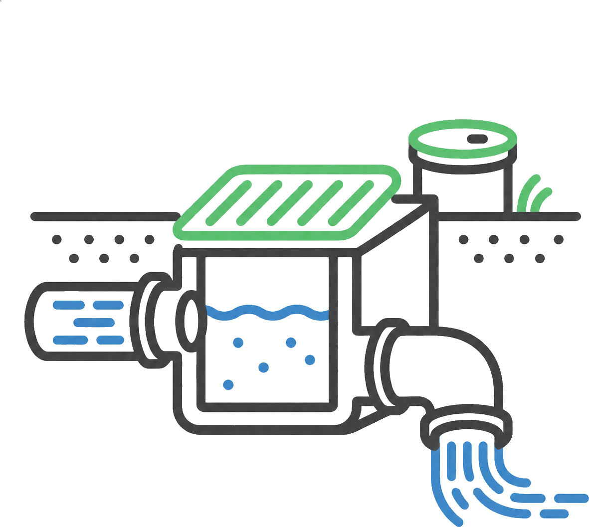
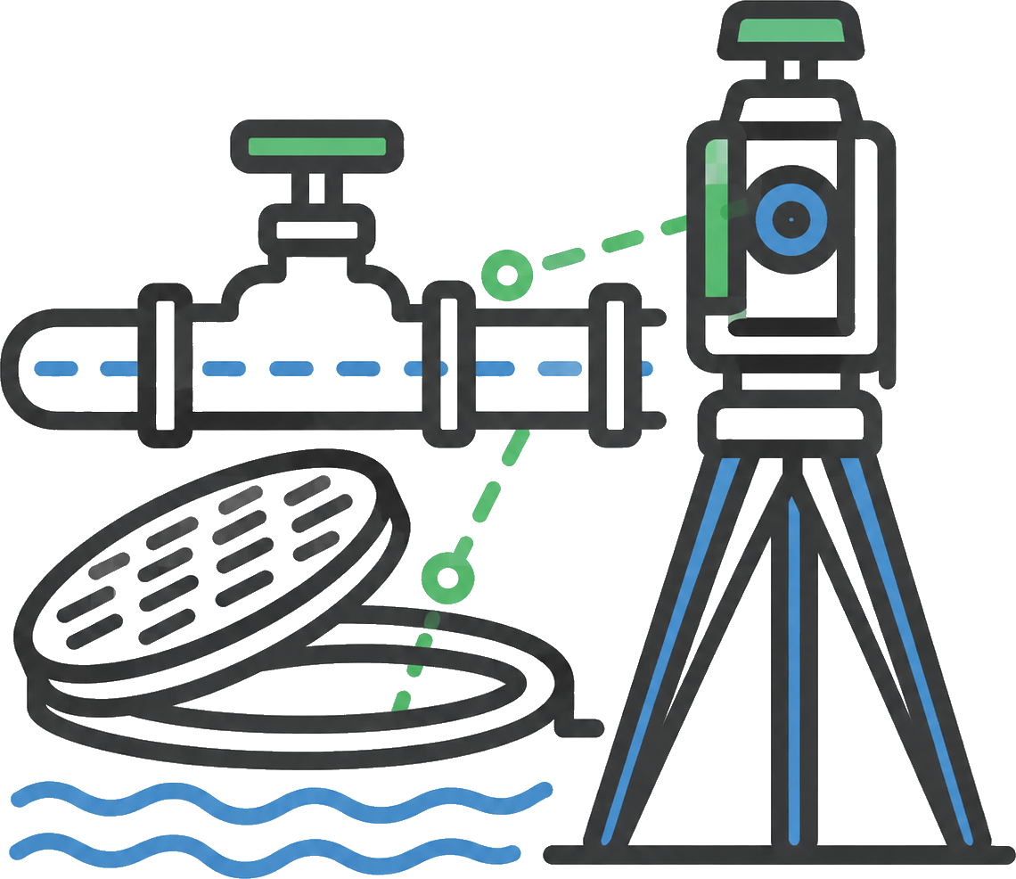
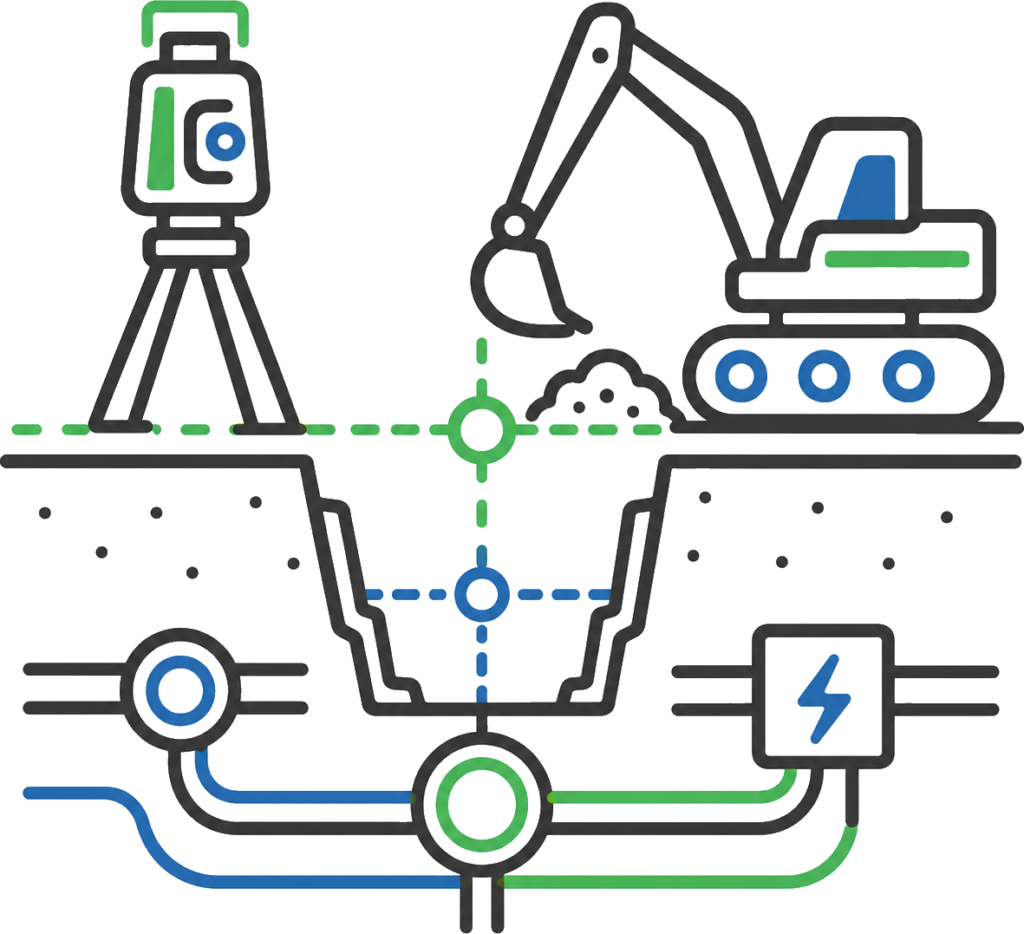
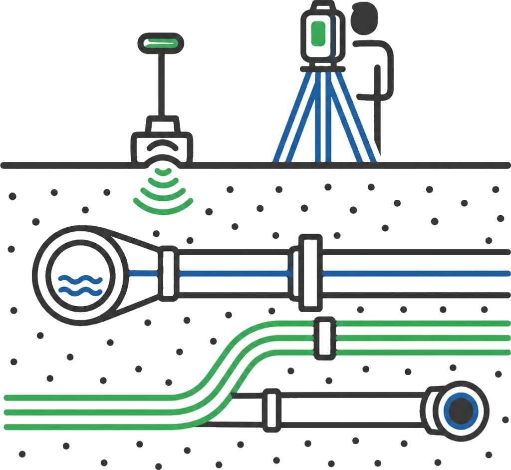
Utility locating and survey pickups for visible and locatable services, including service markers, pits, pipes, valves, hydrants, utility surface features and service corridors required for design, construction or records.
Drainage, Pits & Pipes
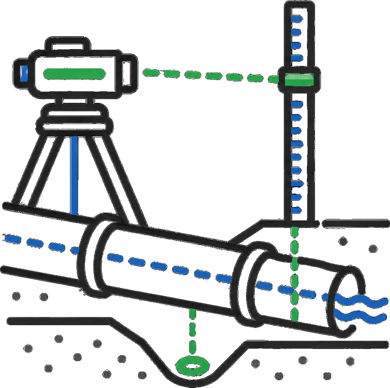
Drainage survey support for pits, pipes, culverts, crossings, open drains, stormwater structures, service corridors and constructed drainage assets.
Invert Levels & Grades
Invert levels, grade checks, pipe information and drainage detail used for design checks, construction verification, tie-ins and as-constructed records.
Utility Corridors
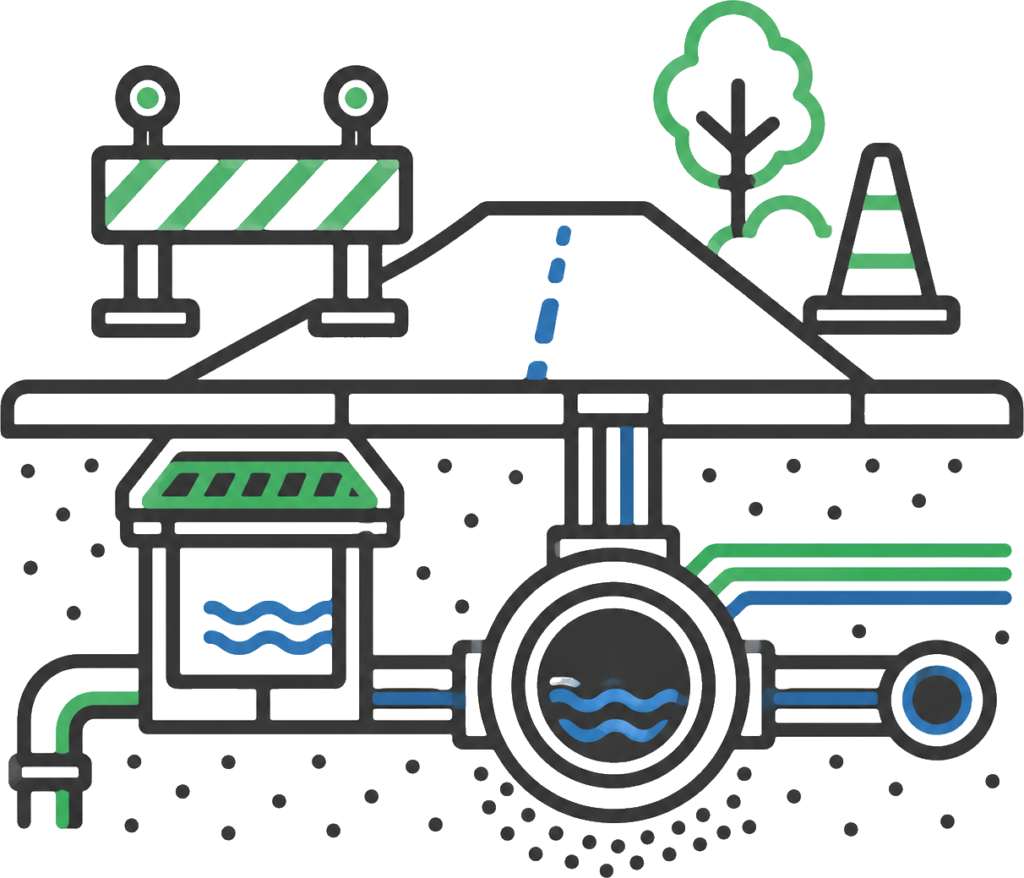
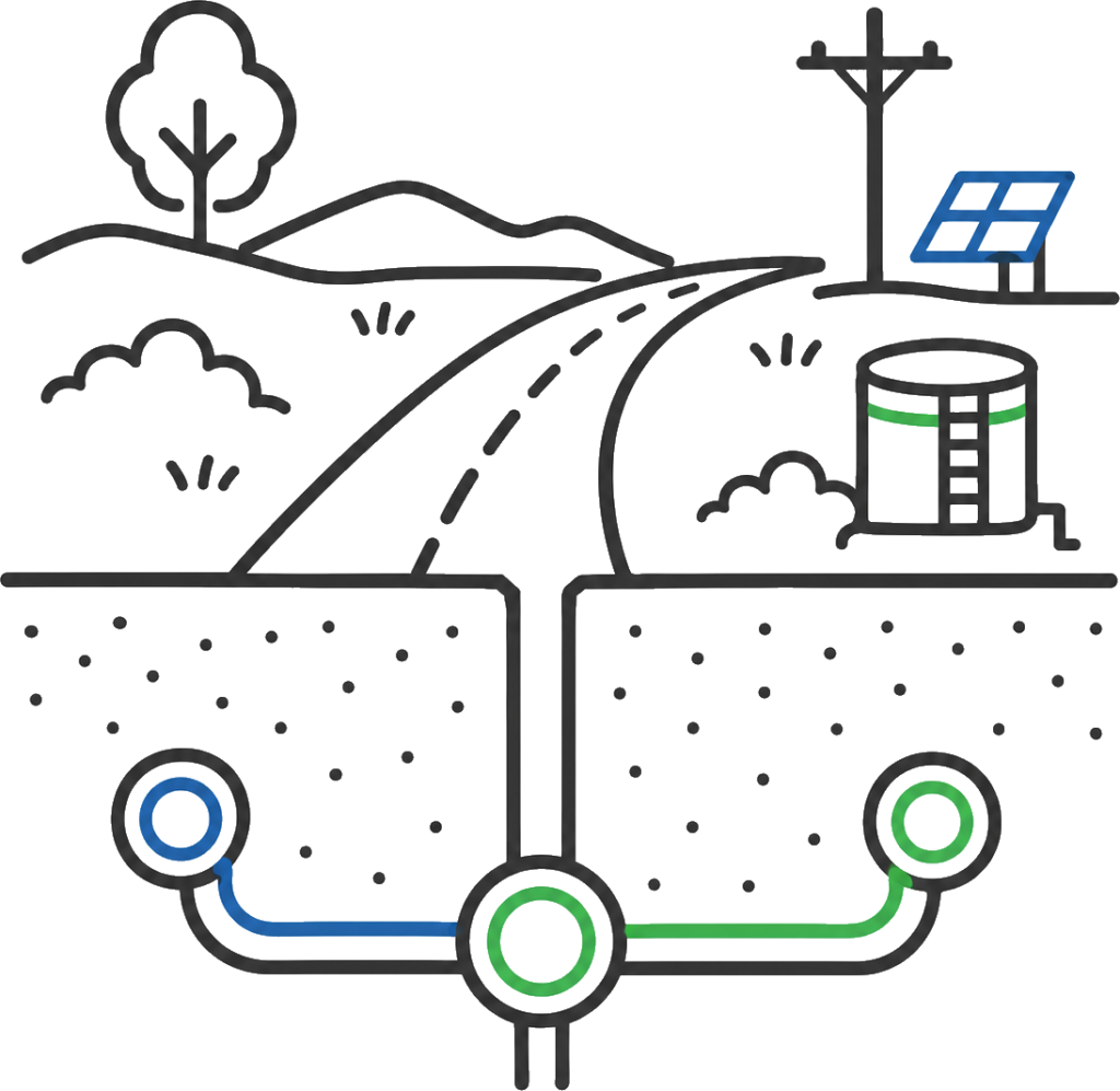
Survey data for service corridors, road crossings, utility alignments, access routes, tie-in points and interfaces with surrounding civil works.
Water Corporation Survey
Approved Water Corporation survey support for water, wastewater, drainage and utility infrastructure requiring accurate pickups, levels, asset detail and handover records.
As-Constructed Records
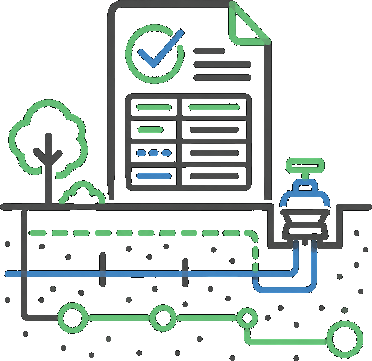
As-constructed survey data, service pickups, asset records, levels, drawings and handover information for contractors, engineers, clients and asset owners.
Utility mapping gives contractors, engineers, builders and asset owners clearer information before excavation, design, construction or handover decisions are made.
Unknown or inaccurate underground service information can cause serious problems on site. A service strike can stop work, damage infrastructure, create safety risks, delay other trades, trigger emergency repairs and add major cost to a project.
Synergy Surveys provides utility locating and underground services survey support for civil, commercial, infrastructure, Water Corporation and regional WA projects. Our work can include service pickups, pits, pipes, drainage structures, invert levels, utility corridors, crossings, valves, hydrants, visible service features and as-constructed utility records.
The aim is simple: give the project team reliable service information that can support design, excavation planning, construction set-out, QA, as-constructed records and final handover.
Where Underground Services Surveys Are Used
Utility mapping adds value before the ground is opened.
If underground services are unknown, inaccurate or not properly recorded, a single service strike can stop excavation, damage infrastructure, trigger emergency repairs, create safety risks, delay other trades and blow out project costs.
For civil, commercial, road, Water Corporation, drainage and infrastructure projects, utility mapping helps the project team understand what is below the surface before design, excavation, tie-ins, service installation or handover.
Synergy Surveys provides utility locating, service pickups, drainage information, invert levels, as-constructed records and underground services survey support so contractors, engineers, builders and asset owners can plan, build and record the work with fewer unknowns.
Water, and utility infrastructure projects rely on accurate service information, invert levels, grades, asset detail and as-constructed records.
As approved Water Corporation surveyors, We support contractors and engineers with utility pickups, service records, and as constructed data required for water and wastewater infrastructure projects.
Road and civil infrastructure projects often involve drainage, culverts, crossings, service corridors, pits, pipes, pavement interfaces and utility tie-ins.
Utility mapping helps confirm where services and drainage assets are located, how they relate to the design, and what information needs to be recorded for construction, QA and final as-constructed records.
Before crews excavate, install services or tie into existing infrastructure, they need clear utility information.
Service pickups, corridor information, drainage details, invert levels and tie-in data can reduce uncertainty and help construction teams plan around existing and proposed underground services.
Commercial and development projects need reliable information about existing and constructed services before design, excavation, building works, drainage design or final records.
Utility mapping can support designers, engineers, builders and developers by capturing visible services, drainage, pits, pipes, tie-in points, levels and site constraints that may affect the project.
Existing underground services need to be understood before excavation, design, trenching or construction starts. DBYD plans and old asset records are a starting point, but they do not always show the exact position, depth or alignment of services on site.
GPR, electromagnetic locating, visible service pickups, pits, valves, hydrants, drainage assets and field survey checks can help confirm what is actually in the ground before crews start work.
Regional projects often need practical utility survey support without waiting on repeated Perth-based mobilisation.
With regional survey capability, Synergy Surveys can support utility mapping, drainage pickups, Water Corporation works, service records and as-constructed survey requirements across regional Western Australia.
Water, and utility infrastructure projects rely on accurate service information, invert levels, grades, asset detail and as-constructed records.
As approved Water Corporation surveyors, We support contractors and engineers with utility pickups, service records, and as constructed data required for water and wastewater infrastructure projects.
Road and civil infrastructure projects often involve drainage, culverts, crossings, service corridors, pits, pipes, pavement interfaces and utility tie-ins.
Utility mapping helps confirm where services and drainage assets are located, how they relate to the design, and what information needs to be recorded for construction, QA and final as-constructed records.
Before crews excavate, install services or tie into existing infrastructure, they need clear utility information.
Service pickups, corridor information, drainage details, invert levels and tie-in data can reduce uncertainty and help construction teams plan around existing and proposed underground services.
Commercial and development projects need reliable information about existing and constructed services before design, excavation, building works, drainage design or final records.
Utility mapping can support designers, engineers, builders and developers by capturing visible services, drainage, pits, pipes, tie-in points, levels and site constraints that may affect the project.
Existing underground services need to be understood before excavation, design, trenching or construction starts. DBYD plans and old asset records are a starting point, but they do not always show the exact position, depth or alignment of services on site.
GPR, electromagnetic locating, visible service pickups, pits, valves, hydrants, drainage assets and field survey checks can help confirm what is actually in the ground before crews start work.
Regional projects often need practical utility survey support without waiting on repeated Perth-based mobilisation.
With regional survey capability, Synergy Surveys can support utility mapping, drainage pickups, Water Corporation works, service records and as-constructed survey requirements across regional Western Australia.
Survey Data That Connects With the Next Stage
Utility mapping works best when it is connected to the rest of the survey workflow.
Existing services, drainage information, invert levels, GPR and service locating data, as-constructed records and field pickups can all affect design, excavation, set-out, quantities, QA and handover.
Synergy Surveys keeps utility information connected with broader site survey data so contractors, engineers, builders, designers and asset owners can work from consistent information before, during and after construction.
Survey control, construction set-out, QA pickups and as-built records that ground aerial data in the construction workflow and confirm what has been built on site.
Survey-backed earthworks quantities, stockpile volumes, mass haul checks, progress claims and final reconciliation using UAV, LiDAR, field pickups and surface comparisons.
Existing site detail, levels, contours, drainage, services, tie-in points and terrain information for design, planning and construction.
\
Utility Mapping Across Perth And Regional Western Australia
Synergy Surveys provides utility mapping, underground services survey support, service pickups, drainage surveys, invert levels and as-constructed utility records across metropolitan, regional and remote Western Australia.
With surveyors living locally across regional WA, we can support faster mobilisation for Water Corporation projects, drainage works, civil construction, commercial developments, roadworks, service locating, GPR coordination, excavation planning and as-constructed service records.
This regional capability is useful when utility information is needed quickly for design, excavation, construction, QA, handover or urgent service-risk management without waiting on repeated Perth-based mobilisation.
Utility Mapping & Underground Services Surveying FAQs
What is utility mapping?
Utility mapping is the process of capturing and recording service and utility information. In a survey context, this can include visible services, pits, pipes, drainage structures, valves, hydrants, service corridors, invert levels, crossings and as-constructed utility records.
Do you provide underground services surveys?
Yes. Synergy Surveys provides underground services survey support for civil, commercial, infrastructure, Water Corporation and regional WA projects. Our work can include service pickups, drainage information, invert levels, utility corridors and as-constructed records.
Are you approved Water Corporation surveyors?
Yes. Synergy Surveys is approved for Water Corporation survey work and understands the process behind water, wastewater, drainage and utility infrastructure projects, including service pickups, invert levels, grade checks, asset detail and as-constructed records.
What information can be captured in a utility survey?
A utility survey can capture visible service markers, pits, pipes, culverts, valves, hydrants, drainage structures, crossings, invert levels, service corridors, tie-in points and other utility information required for design, construction or handover.
Can utility mapping support construction set-out?
Yes. Utility mapping can help construction teams understand existing and proposed services before set-out, excavation, drainage works, service installation or tie-ins. It can also support QA checks and final as-constructed records.
Can utility mapping support as-constructed records?
Yes. Utility survey data is commonly used for as-constructed records, asset pickups, final service drawings, drainage records, levels and handover information for contractors, engineers, clients and asset owners.
Do you provide GPR or concrete scanning?
Synergy Surveys provides utility mapping and survey support for service pickups, visible utility features, drainage, levels and as-constructed records. If GPR, service locating or concrete scanning is required, we can confirm the required scope and coordinate the right approach for the project.
Need Utility Mapping or Underground Services Survey Support?
Synergy Surveys can assist with utility mapping, service pickups, pits, pipes, drainage, invert levels, utility corridors, Water Corporation survey support and as-constructed underground services records across Western Australia.