Machine control is only useful when the survey control, base station, calibration, design model and machine files all line up.
Synergy Surveys provides GPS and GNSS machine control support for contractors, supervisors, engineers and earthworks crews who need accurate site data that can be used in the machines and checked on the ground.
Our site solutions can include GNSS base station setup, survey control, site calibrations, model checks, machine file support, surface updates, final trim checks and practical survey workflows for civil, mining, infrastructure and regional WA projects.
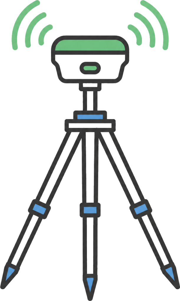
GNSS base station setup, checks and support so machines, rovers and survey crews are working from reliable site control.
Site calibrations and localisation checks to connect project control, design data and machine guidance systems before works begin.
Design model checks, machine file support, surface updates and practical review of the data being used by operators in the field.
Support for civil and earthworks crews using GPS/GNSS machine control to build from digital design data, surfaces and site models. We can provide Accuracy Checks and Set up Assistance
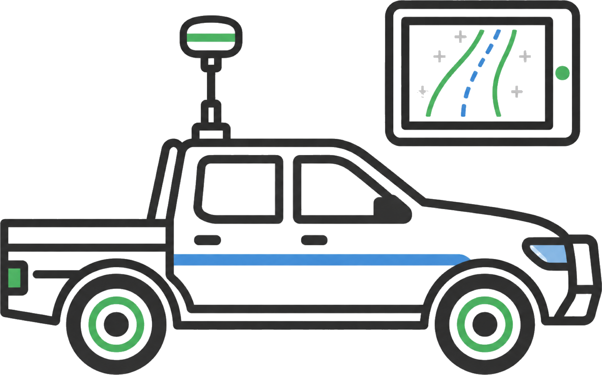
Leica supervisor car kit hire for engineers and supervisors to drive the site, view design models, check cut/fill values and review project progress.
Control networks, benchmarks, rover checks and verification points to keep machine control and construction survey aligned across the site.
Machine control is the link between the project model and the plant working on site. For it to work properly, the design surfaces, alignments, strings, coordinate system, site control and machine files need to be prepared and checked before operators rely on them.
Synergy Surveys manages the survey side of that workflow for civil, mining, earthworks and infrastructure projects across Western Australia. We support GNSS base stations, site calibrations, control networks, 3d Models, machine file updates, rover checks and field verification so the machines are working from current project data.
The accuracy comes from the GNSS setup, control network, localisation, design model and ongoing checks all working together. When designs change, surfaces are updated or work fronts move, we help keep the machine data, survey pickups and site records aligned.
We also provide Leica supervisor car kit hire so engineers, supervisors and project teams can drive the site, view the design model, check position, review cut/fill values and understand work fronts without waiting for a surveyor for every basic check.
GPS machine control takes survey data out of the office and puts it directly into the plant, supervisor vehicle and field workflow.
Operators can see the design surface and live cut/fill values while they build. Supervisors and engineers can drive the site, check work fronts against the model and identify level or design issues before they become rework. That reduces the need for constant manual grade checking, helps keep plant moving and gives the site team faster feedback on what has been built, what still needs to be moved and where the job is sitting against design.
For civil, mining, road, earthworks and infrastructure projects, a properly set up GPS/GNSS machine control system can improve productivity, reduce survey delays, support final trim, improve material movement decisions and keep quantities, progress and site records tied to current project data.
The value comes from getting the setup right: reliable survey control, clean machine files, accurate site calibration, suitable GNSS base station support, Leica supervisor car kits where required, and regular checks to make sure the model and the real site stay aligned.
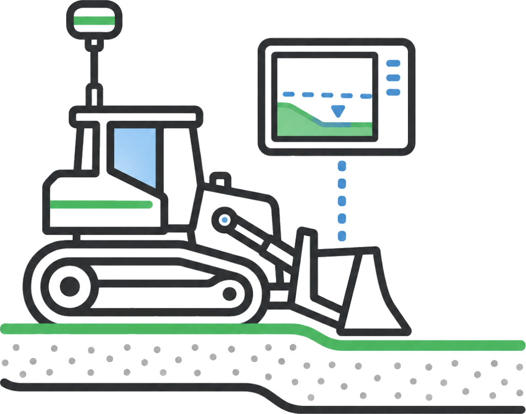
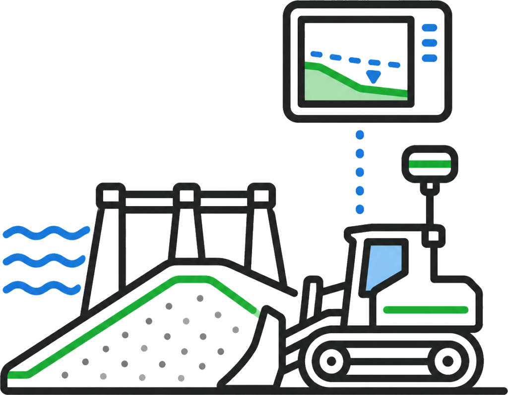
Bulk earthworks move faster when operators can see the design surface and cut/fill values in the machine. GPS machine control helps reduce constant manual grade checking, keeps plant working from the current model and gives crews clearer direction on what needs to be cut, filled, trimmed or checked.
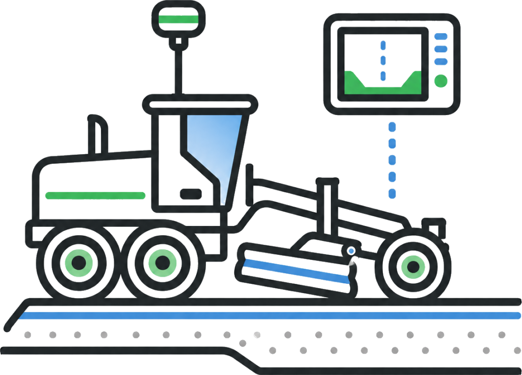
For final trim, the setup matters. Reliable survey control, clean machine files, site calibration and regular verification help crews chase finished levels, falls and tolerances with fewer delays and less rework.
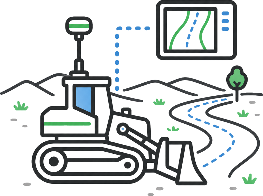
Roadworks rely on accurate formation levels, crossfalls, pavement layers, tie-ins and drainage interfaces. GPS machine control helps operators build to the design model while supervisors and engineers can review progress, surface levels and cut/fill values in the field.
For Main Roads WA, Shire and transport infrastructure projects, keeping the machine model, survey control and field checks aligned helps reduce expensive reworks, keeps road formation, pavement preparation and access works tied to current data.
Dam construction, tailings storage facilities and embankment works rely on accurate surfaces, batters, lifts, drainage grades and material zones being built to the design. Small errors in levels, slopes or tie-ins can create major rework and compliance issues.
GPS machine control helps operators work from the current model while survey checks confirm embankment levels, batter slopes, lift surfaces, drainage areas and finished profiles. Synergy Surveys supports these works with GNSS control, machine files, model checks, surface updates, progress pickups and verification against the design.
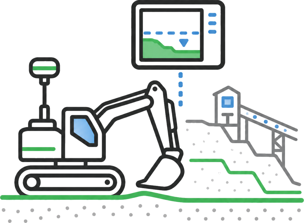
Mining and industrial sites often involve large work areas, changing designs, multiple contractors, access roads, pads, processing areas and services. GPS machine control helps operators work from the same project model across active and changing site conditions.
When combined with survey control, UAV surfaces, machine file updates and field verification, machine control helps improve productivity, track progress and keep earthworks, quantities and site records aligned.
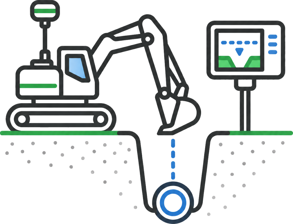
Drainage, services and utility corridors need accurate grades, offsets, depths and tie-ins. GPS machine control can help crews excavate and form corridors more efficiently, but survey checks are still critical around pits, pipes, crossings, inverts and constructed assets.
Keeping the control, model and field verification current helps reduce clashes, incorrect levels and rework, especially on road, Water Corporation, drainage and civil infrastructure projects.
Regional and remote projects need site systems that keep work moving without relying on constant mobilisation from Perth. GPS machine control, GNSS base stations, Leica supervisor car kits and clean machine files give local crews more information in the field.
This helps supervisors, engineers and operators check design levels, cut/fill values, work fronts and progress on site, making machine control especially useful for civil, mining, road, infrastructure and earthworks projects across WA.
Bulk earthworks move faster when operators can see the design surface and cut/fill values in the machine. GPS machine control helps reduce constant manual grade checking, keeps plant working from the current model and gives crews clearer direction on what needs to be cut, filled, trimmed or checked.
For final trim, the setup matters. Reliable survey control, clean machine files, site calibration and regular verification help crews chase finished levels, falls and tolerances with fewer delays and less rework.
Roadworks rely on accurate formation levels, crossfalls, pavement layers, tie-ins and drainage interfaces. GPS machine control helps operators build to the design model while supervisors and engineers can review progress, surface levels and cut/fill values in the field.
For Main Roads WA, Shire and transport infrastructure projects, keeping the machine model, survey control and field checks aligned helps reduce expensive reworks, keeps road formation, pavement preparation and access works tied to current data.
Dam construction, tailings storage facilities and embankment works rely on accurate surfaces, batters, lifts, drainage grades and material zones being built to the design. Small errors in levels, slopes or tie-ins can create major rework and compliance issues.
GPS machine control helps operators work from the current model while survey checks confirm embankment levels, batter slopes, lift surfaces, drainage areas and finished profiles. Synergy Surveys supports these works with GNSS control, machine files, model checks, surface updates, progress pickups and verification against the design.
Mining and industrial sites often involve large work areas, changing designs, multiple contractors, access roads, pads, processing areas and services. GPS machine control helps operators work from the same project model across active and changing site conditions.
When combined with survey control, UAV surfaces, machine file updates and field verification, machine control helps improve productivity, track progress and keep earthworks, quantities and site records aligned.
Drainage, services and utility corridors need accurate grades, offsets, depths and tie-ins. GPS machine control can help crews excavate and form corridors more efficiently, but survey checks are still critical around pits, pipes, crossings, inverts and constructed assets.
Keeping the control, model and field verification current helps reduce clashes, incorrect levels and rework, especially on road, Water Corporation, drainage and civil infrastructure projects.
Regional and remote projects need site systems that keep work moving without relying on constant mobilisation from Perth. GPS machine control, GNSS base stations, Leica supervisor car kits and clean machine files give local crews more information in the field.
This helps supervisors, engineers and operators check design levels, cut/fill values, work fronts and progress on site, making machine control especially useful for civil, mining, road, infrastructure and earthworks projects across WA.
GPS machine control works best when it is connected to the rest of the survey workflow.
Machine files, base stations and site calibrations are only part of the system. The machines also need reliable survey control, current design surfaces, field pickups, progress data, quantity checks and as-built records to keep the digital model aligned with the physical site.
Synergy Surveys connects machine control support with our broader surveying capability so civil, mining, earthworks and infrastructure crews can build, check, measure and report from the same project information.
Survey control, construction set-out, QA pickups and as-built records that ground aerial data in the construction workflow and confirm what has been built on site.
Survey-backed earthworks quantities, stockpile volumes, mass haul checks, progress claims and final reconciliation using UAV, LiDAR, field pickups and surface comparisons.
Existing site levels, contours, drainage, services, tie-in points and terrain data for planning, design and construction.
Service pickups, pits, pipes, drainage, invert levels, utility corridors and as-constructed service records for civil, Water Corporation and infrastructure works.
Synergy Surveys provides GPS machine control support, GNSS base stations, site calibrations, model checks, Leica supervisor car kit hire and practical site survey workflows across metropolitan, regional and remote Western Australia.
With surveyors living locally across regional WA, we can support faster mobilisation for civil construction, mining infrastructure, Main Roads WA and Shire works, Water Corporation projects, bulk earthworks, roads, dams, tailings dams, access tracks and remote project sites.
That regional capability helps keep machine control systems, site control, design data and field checks current without every issue depending on a Perth-based mobilisation. For contractors, supervisors and engineers, it means faster support when models change, base stations need checking, crews need cut/fill information or machines need to stay working from the correct project data.
GPS machine control is the common term used for machine guidance systems that allow earthmoving plant to work from digital design data. Technically, most modern systems use GNSS, which includes GPS and other satellite networks.
Synergy Surveys supports the survey control, base stations, calibrations, model checks and field verification needed to make these systems work properly on site.

Yes. Synergy Surveys can assist with GNSS base stations, survey control, site calibrations, model checks, machine file support and field verification for civil, mining, earthworks and infrastructure projects.
Machine control relies on accurate control, clean models, correct calibrations and regular checks. If the site control, base station, design surface or machine files are wrong, the machines can build from bad information.
Survey support helps keep the digital model and the physical site aligned.
A supervisor car kit allows supervisors, engineers and project staff to view the project model from a vehicle while moving around the site.
With a Leica supervisor car kit, users can check their position against the design, review cut/fill values, inspect surfaces, understand work fronts and make better site decisions using current project data.
Yes. Synergy Surveys uses Leica supervisor car kits to help engineers, supervisors and project teams review design surfaces, cut/fill values, progress and site conditions from the fiel
Yes. Machine control can support final trim when the design model, site calibration, survey control and checks are accurate. Synergy Surveys can assist with control, model checks, field verification, surface updates and final trim checks.
Yes. Synergy Surveys can assist with design model checks, machine file support, surface updates and practical review of the data being used by operators and site teams in the field.
Yes. Synergy Surveys supports GPS machine control, GNSS base stations, site calibrations, model checks and supervisor car kit hire across Perth and regional Western Australia.
Yes, Synergy Surveys Hold the necessary insurances for all aspects of surveying. This include specific Aviation insurance.
Synergy Surveys can assist with GPS machine control support, GNSS base stations, site calibrations, model checks, machine files, survey control, Leica supervisor car kit hire and practical site survey workflows across Western Australia.