
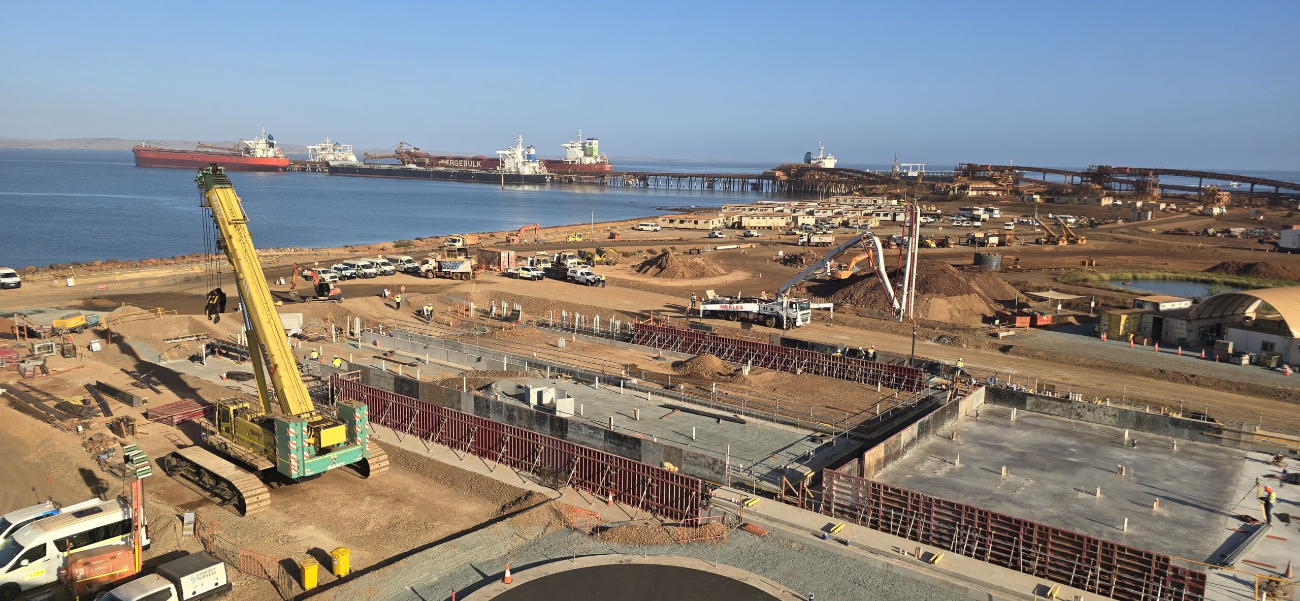
Surveying Services
Engineering Surveying & Spatial Solutions Across Western Australia





how we can help
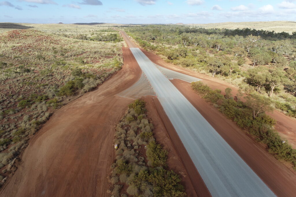
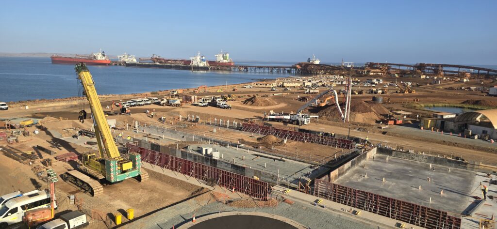
Synergy Surveys provides engineering surveying, UAV mapping, machine control support and spatial data solutions for mining, infrastructure and construction projects across Perth, the Pilbara, Kalgoorlie and regional Western Australia.Our team supports projects through all stages of delivery, from bulk earthworks and civil construction through to structural concrete, SMP installation, quantity verification and aerial data capture.Using modern survey technology, integrated workflows and practical site experience, we deliver accurate and reliable spatial solutions designed to support productivity, programme and project outcomes in demanding construction environments across Western Australia.
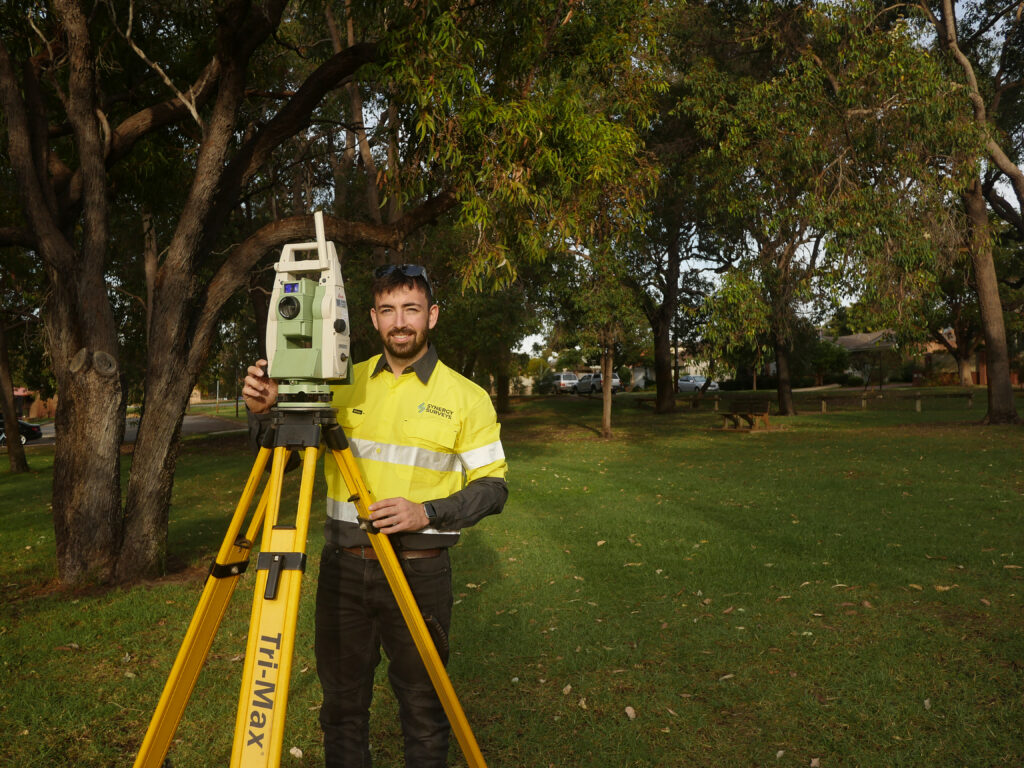
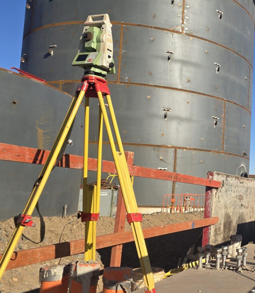
Need Survey Support for a WA Project?
Synergy Surveys can assist with engineering surveying, construction set-out, site control, UAV LiDAR mapping, feature and contour surveys, project quantities, machine control support, QA pickups, as-built survey records and handover deliverables across Western Australia.