Aerial survey is not just for producing maps. UAV and LiDAR capture can provide rapid site visibility, asset inspection records, terrain data, progress surfaces, stockpile volumes and project reporting across construction, mining, infrastructure, commercial, environmental and regional WA projects.
Synergy Surveys uses survey control, UAV capture and processing workflows to turn aerial data into accurate, useful project information with a fast turn around.
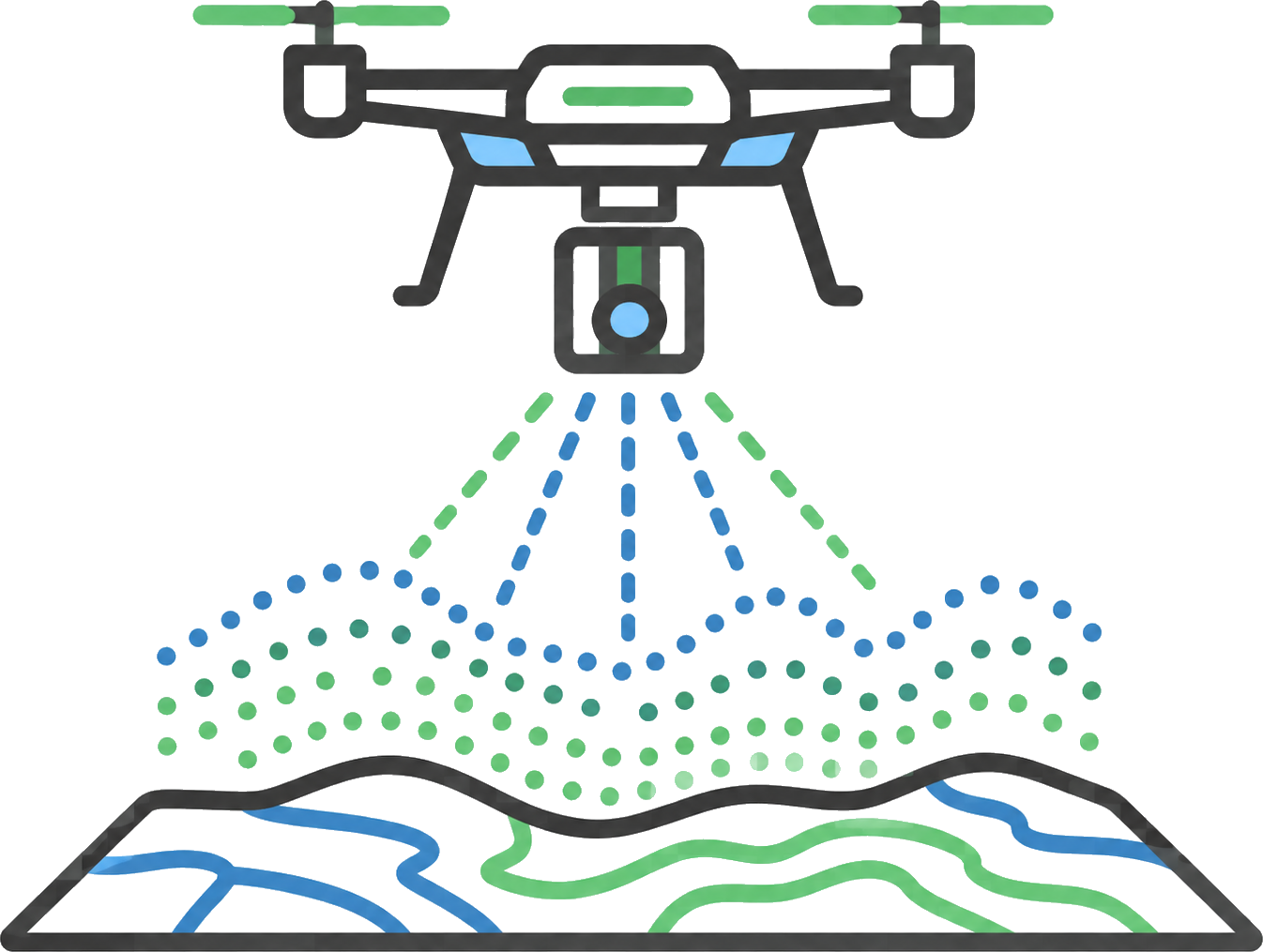
High-resolution UAV Orthomosaics can help contractors, engineers and clients understand site conditions, completed works, access, stockpiles, drainage, haul routes and construction progress.
UAV LiDAR capture can support sites where terrain, vegetation, structures, corridors or access constraints make standard capture difficult. LiDAR data can be used to create point clouds, terrain information, surface models and project records for civil, mining, infrastructure and regional works.
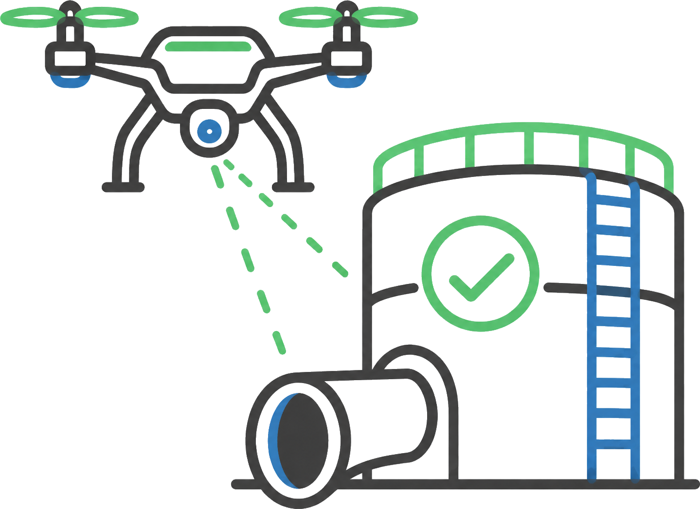
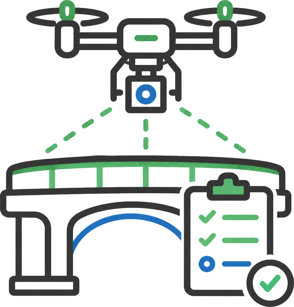
UAV asset inspections provide a safer and faster way to capture hard-to-access areas, structures, roofs, stockpiles, corridors, drainage areas, plant, infrastructure and remote sites.
Aerial inspection records can support condition reporting, maintenance planning, site audits, progress reviews, asset registers and client reporting.
Aerial survey data can be processed into terrain models, existing surfaces, progress surfaces and final surfaces.
These models are used for design comparisons, earthworks quantities, cut/fill checks, mass haul planning, progress reporting and final reconciliation.
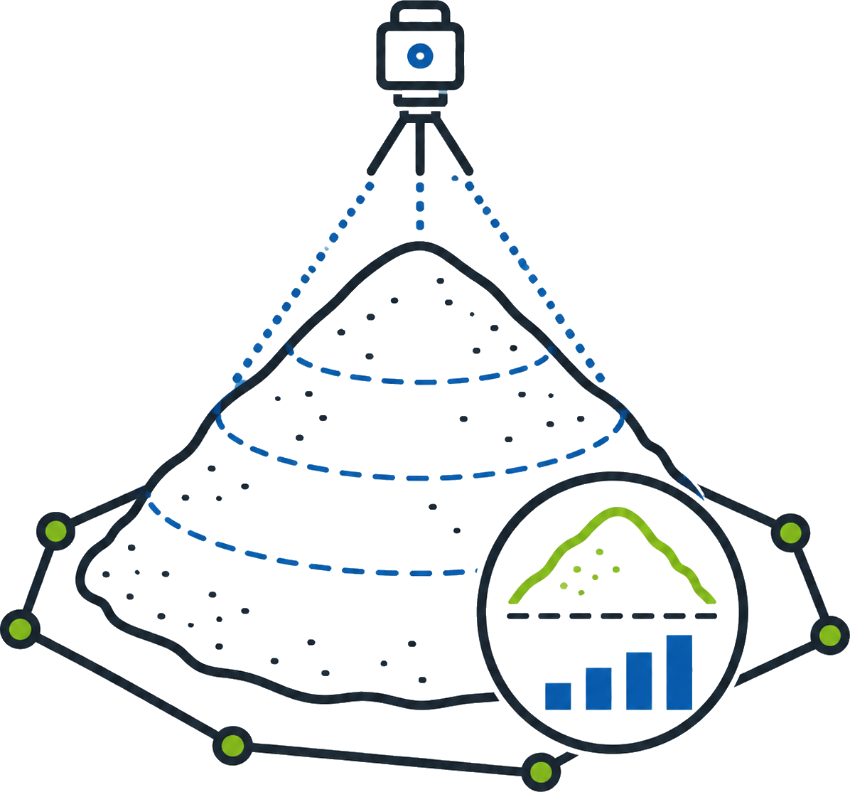
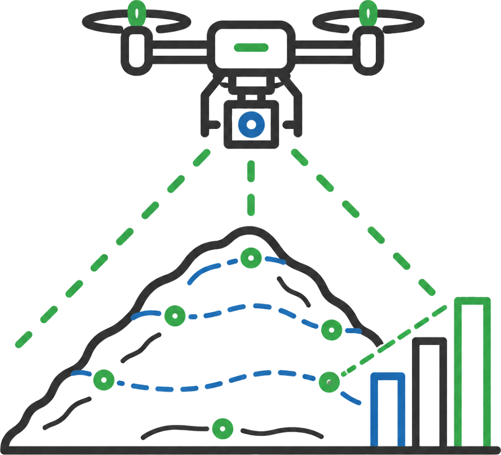
UAV and LiDAR capture can measure stockpiles, spoil, aggregates, ore, sand, gravel, crushed rock and other site materials.
Survey-backed stockpile volumes support reporting, reconciliation, material management, payment claims and commercial review.
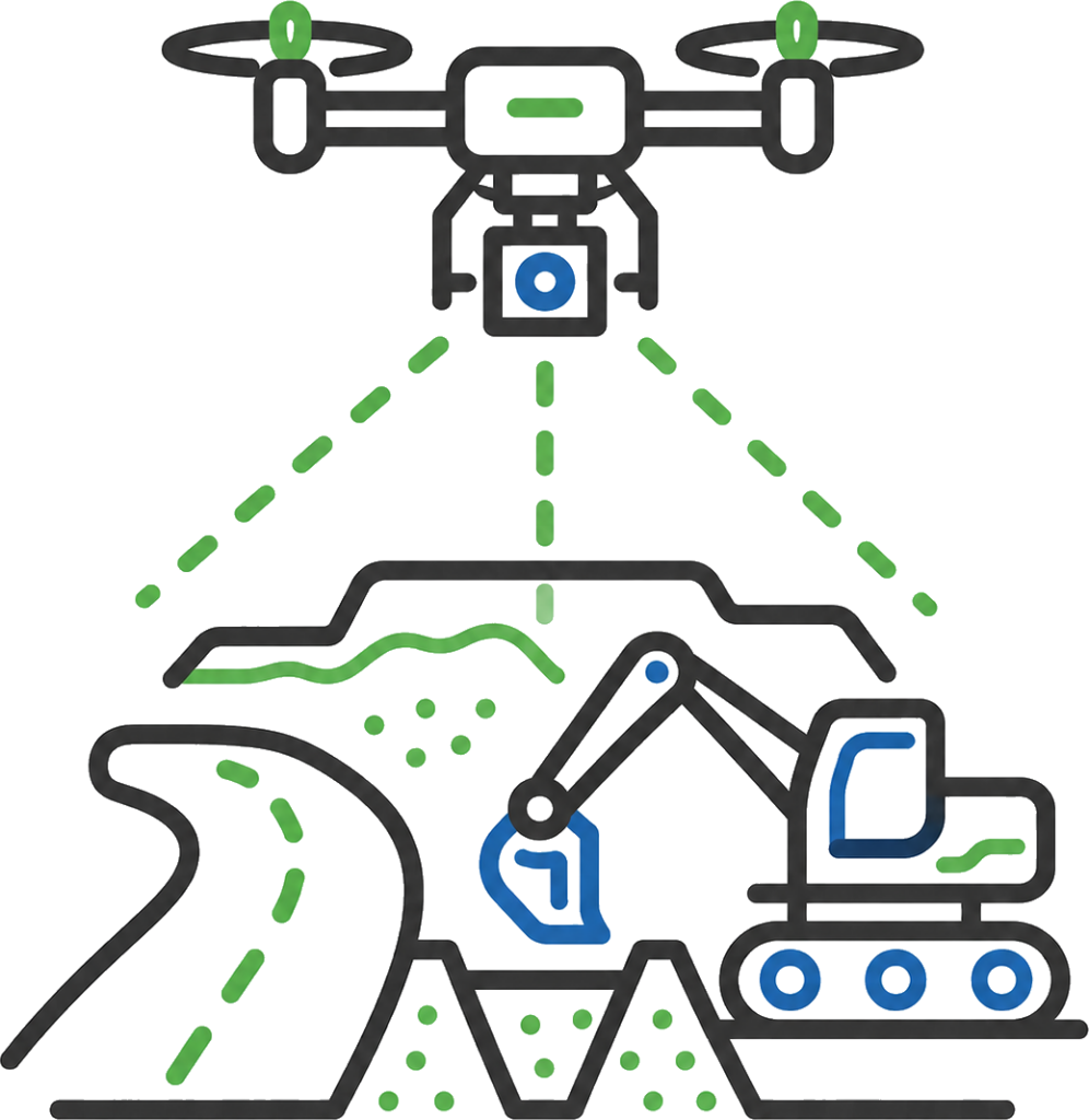
Progress mapping gives the project team a current record of what has changed on site.
Aerial capture can support progress claims, QMRs, programme updates, earthworks tracking, completed works records and client reporting across large or remote project areas.
Synergy Surveys provides aerial survey, UAV mapping and LiDAR capture across Western Australia for construction, mining, infrastructure, commercial, environmental, forestry, farming, residential and regional projects.
Our UAV work is not just drone photography. Flights are planned around the site conditions, required accuracy, access constraints, safety requirements and the deliverables needed by the client. Depending on the project, that may be an orthomosaic, point cloud, digital terrain model, digital surface model, stockpile volume, asset inspection record, progress surface or project reporting data.
With a large and capable UAV fleet, Synergy Surveys can respond quickly when aerial data is needed at short notice. This is useful for active construction sites, stockpile surveys, progress claims, QMRs, asset inspections, remote project areas, farming and crop inspections, storm or erosion records, and sites where ground access is difficult or unsafe.
Our aerial survey workflows are handled by experienced survey professionals and CASA-licensed UAV pilots. Using UAV LiDAR, photogrammetry, GNSS Sensors and survey processing workflows, we produce aerial data that can be measured, checked and used for real project decisions.
The result is fast, practical aerial survey data prepared for construction teams, engineers, estimators, asset owners, farmers, land managers, environmental consultants, mining clients, commercial operators and regional project teams.
Aerial survey is valuable when a site needs to be captured quickly, safely or repeatedly. It is often used when project teams need current visibility, asset records, stockpile measurements, terrain data, progress surfaces, inspection imagery or site information that would be slow, unsafe or expensive to collect from the ground.
A well-planned UAV survey can collect a large amount of high-quality site data in a short period of time. Instead of relying on isolated manual pickups or scattered site photos, aerial mapping captures the whole area at once, almost like placing a large survey crew across the site simultaneously.
Many aerial survey requests are time-sensitive. A stockpile may need to be measured before material is moved, a progress claim may need current site data before the claim cut-off, a project manager may need an updated site record before a meeting, or an asset owner may need inspection imagery before maintenance or access changes. Our fleet and regional capability allow us to respond quickly where practical.
UAV mapping supports civil and construction sites with progress records, earthworks surfaces, drainage visibility, access tracking, pavement areas, stockpile locations and site reporting.
Aerial capture gives contractors, engineers and clients a current view of the whole site, helping support claims, QMRs, programme updates, quantity checks, staging reviews and handover records without waiting on slow manual capture across every work area.
UAV asset inspections provide a faster and safer way to capture hard-to-access areas, structures, roofs, drainage corridors, plant, access routes, stockpiles and remote assets.
Inspection records can support maintenance planning, condition reporting, insurance records, site audits, asset registers, progress reviews and client updates while reducing the need for unnecessary access, climbing, shutdowns or ground-based inspection delays.
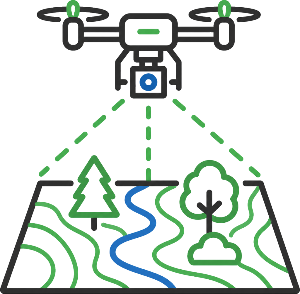
UAV mapping and LiDAR capture can support environmental areas, forestry blocks, rehabilitation areas, drainage paths, erosion records, vegetation mapping and broad land records.
LiDAR can help capture terrain information through gaps in vegetation canopy, making it useful for ground modelling, access planning, drainage understanding, rehabilitation records and environmental reporting.
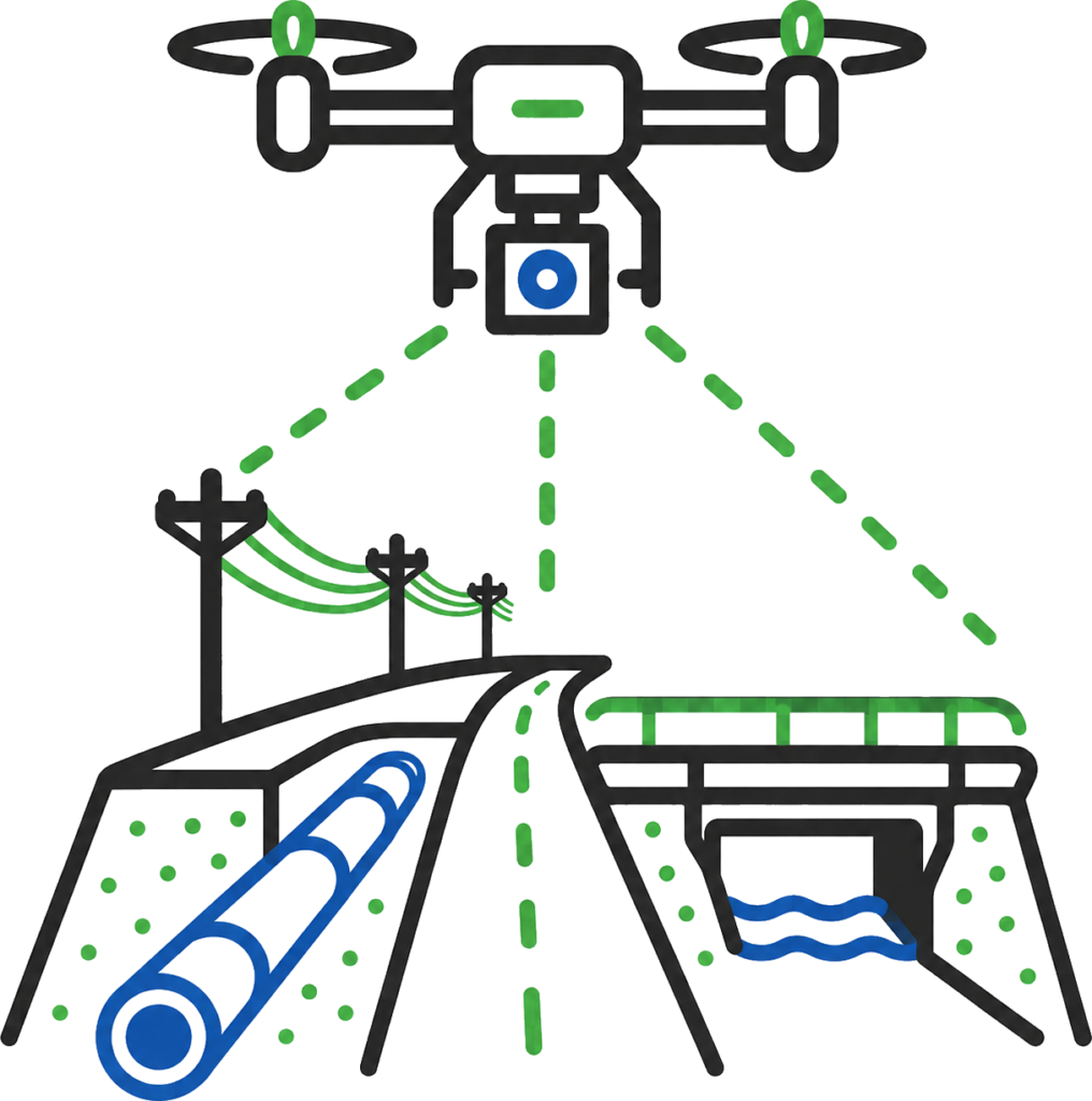
Aerial survey can support road corridors, water infrastructure, drainage paths, service corridors, access routes, crossings, easements and construction zones.
For long or difficult-to-access corridors, UAV mapping can capture broad site coverage quickly, helping project teams review access, constraints, progress, drainage, asset conditions and completed works from a single controlled dataset.
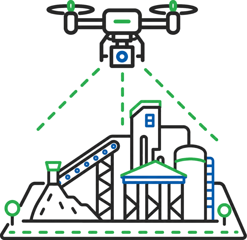
Mining and industrial sites often cover large areas with changing stockpiles, haul roads, pads, processing areas, services and active work fronts.
UAV LiDAR and aerial survey can support progress mapping, stockpile measurement, surface modelling, asset inspection, material reconciliation, remote site visibility and reporting across live project environments.
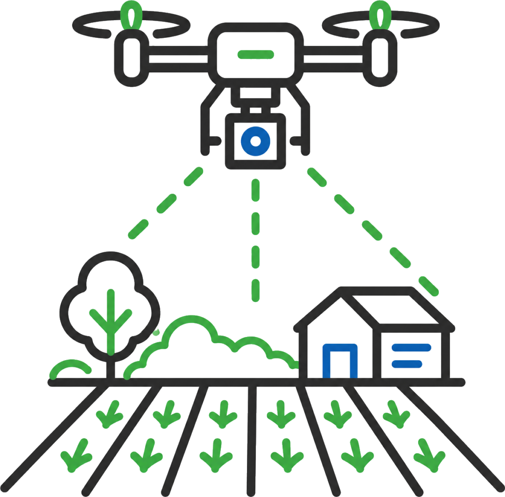
UAV mapping can provide useful aerial records for farms, cropping areas, rural properties, access tracks, drainage, erosion, waterlogging, vegetation, paddock conditions and broad site planning.
Aerial capture gives landowners, farm managers, environmental consultants and project teams a current view of large areas in a fraction of the time required for ground inspection alone.
UAV mapping supports civil and construction sites with progress records, earthworks surfaces, drainage visibility, access tracking, pavement areas, stockpile locations and site reporting.
Aerial capture gives contractors, engineers and clients a current view of the whole site, helping support claims, QMRs, programme updates, quantity checks, staging reviews and handover records without waiting on slow manual capture across every work area.
UAV asset inspections provide a faster and safer way to capture hard-to-access areas, structures, roofs, drainage corridors, plant, access routes, stockpiles and remote assets.
Inspection records can support maintenance planning, condition reporting, insurance records, site audits, asset registers, progress reviews and client updates while reducing the need for unnecessary access, climbing, shutdowns or ground-based inspection delays.
UAV mapping and LiDAR capture can support environmental areas, forestry blocks, rehabilitation areas, drainage paths, erosion records, vegetation mapping and broad land records.
LiDAR can help capture terrain information through gaps in vegetation canopy, making it useful for ground modelling, access planning, drainage understanding, rehabilitation records and environmental reporting.
Aerial survey can support road corridors, water infrastructure, drainage paths, service corridors, access routes, crossings, easements and construction zones.
For long or difficult-to-access corridors, UAV mapping can capture broad site coverage quickly, helping project teams review access, constraints, progress, drainage, asset conditions and completed works from a single controlled dataset.
Mining and industrial sites often cover large areas with changing stockpiles, haul roads, pads, processing areas, services and active work fronts.
UAV LiDAR and aerial survey can support progress mapping, stockpile measurement, surface modelling, asset inspection, material reconciliation, remote site visibility and reporting across live project environments.
UAV mapping and LiDAR capture can support environmental areas, forestry blocks, rehabilitation areas, drainage paths, erosion records, vegetation mapping and broad land records.
LiDAR can help capture terrain information through gaps in vegetation canopy, making it useful for ground modelling, access planning, drainage understanding, rehabilitation records and environmental reporting.
Aerial survey is strongest when it is connected to the rest of the project survey workflow.
UAV mapping may provide the imagery, surface, point cloud or inspection record, but the value comes from linking that data with survey control, construction pickups, project quantities, utility information, machine control models and as-built records.
Synergy Surveys keeps aerial capture connected with our broader surveying capability so the same site data can support design, construction, progress reporting, stockpile volumes, asset inspection, claims, QMRs and handover.
Survey control, construction set-out, QA pickups and as-built records that ground aerial data in the construction workflow and confirm what has been built on site.
Survey-backed earthworks quantities, stockpile volumes, mass haul checks, progress claims and final reconciliation using UAV, LiDAR, field pickups and surface comparisons.
Existing site levels, contours, drainage, services, tie-in points and terrain data for planning, design and construction.
GNSS control, base stations, calibrations, model checks and machine control support so aerial surfaces and site data align with the earthworks workflow.
Service pickups, pits, pipes, drainage, invert levels, utility corridors and as-constructed service records for civil, Water Corporation and infrastructure works.
Synergy Surveys provides UAV mapping, aerial survey, LiDAR capture and asset inspection support across metropolitan, regional and remote Western Australia.
With a capable UAV fleet and surveyors living locally across regional WA, we can mobilise rapidly for construction sites, mining projects, commercial properties, forestry areas, infrastructure corridors, stockpile surveys, asset inspections and remote project locations.
That regional capability helps keep aerial data current when projects need fast capture, repeat monitoring, progress records or reliable site information without waiting on a Perth-based mobilisation.
Aerial survey uses UAV or drone capture to collect site data from above. When captured and processed with survey control, aerial survey can produce orthomosaics, point clouds, terrain models, contours, stockpile volumes, progress records and project data used for design, construction, asset inspection and reporting.
No. Drone photography can provide useful images, but survey-grade UAV mapping requires planning, control, processing and checks so the data can be measured and used. Synergy Surveys uses UAV capture as part of the survey workflow, not just for site photos.
Yes. UAV asset inspections can capture hard-to-access structures, roofs, drainage areas, corridors, plant, stockpiles, infrastructure and remote sites. The data can support condition reporting, asset records, maintenance planning, site audits and client updates
Yes. Aerial survey is one of the best methods for stockpile and inventory volume reporting because it captures the full pile surface quickly and consistently. UAV and LiDAR capture can be used to measure spoil, aggregate, sand, gravel, ore, crushed rock and other site materials.
Yes. Synergy Surveys provides UAV LiDAR capture for projects that need point cloud data, terrain information, surface models, contours or capture across complex, vegetated, remote or infrastructure environments.
Yes. UAV LiDAR can help capture terrain information in vegetation and forestry environments by reaching ground points through gaps in the canopy. This can support terrain modelling, drainage understanding, access planning, rehabilitation records, vegetation mapping and broad-area environmental reporting.
Yes. Aerial survey can provide current surfaces, progress records, stockpile measurements, volume comparisons and site data that supports project quantities, QMRs, progress claims, forecasting and commercial reporting.
Yes. Synergy Surveys operates with CASA-licensed UAV capability for commercial aerial survey
Yes, Synergy Surveys Hold the necessary insurances for all aspects of surveying. This include specific Aviation insurance.
Send through the site location, project type, required survey area and any council, builder, designer or engineer requirements.