Synergy Surveys provides project quantity support for contractors, estimators, project managers, engineers, commercial teams and asset owners who need reliable measurement data.
Our work helps compare design against actual, measure earthworks progress, check stockpile volumes, support payment claims, quantify variations and keep commercial reporting tied to current site conditions.
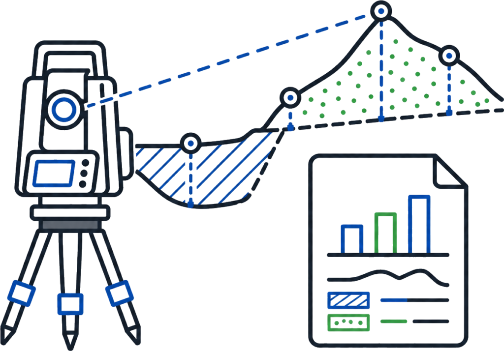
Project quantities are prepared using survey data, UAV and LiDAR capture, surface models, field pickups and design information so the numbers can be checked, explained and used throughout the job.
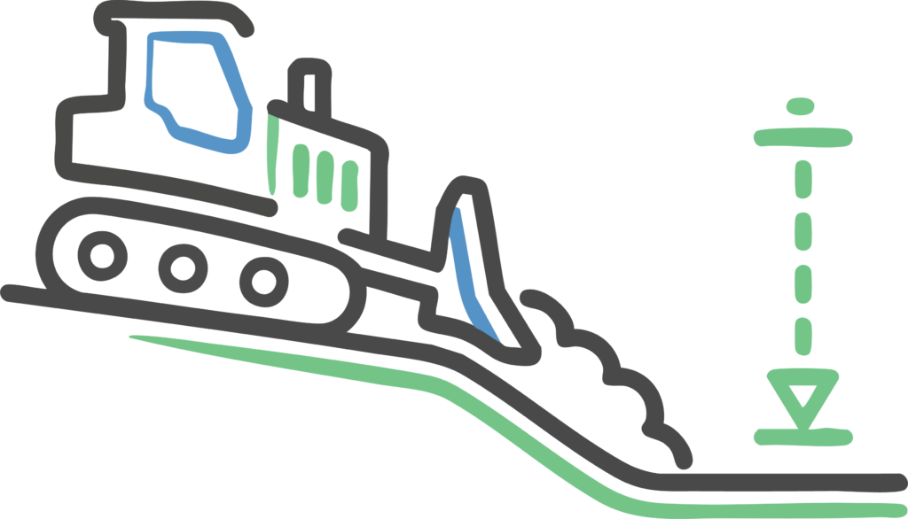
Cut and fill comparisons, surface modelling and earthworks balance data to support haul planning, material movement, borrow, spoil and site efficiency.
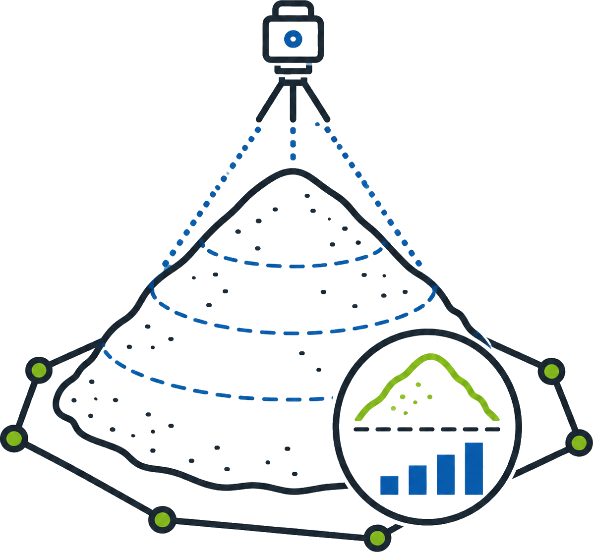
Stockpile surveys provide measured volumes for materials, spoil, ore, aggregate, sand, gravel, crushed rock and other site-won or imported materials.
We can support tender teams with existing surface data, design comparisons, early volume checks, material quantity reviews and survey-backed information to help identify gaps, risks or assumptions before submission.
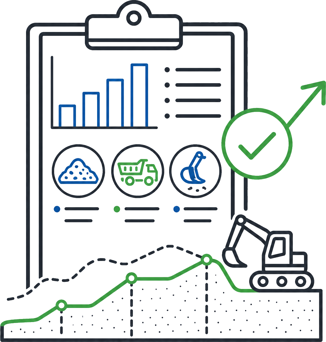
Synergy Surveys supports progress claims with current surface pickups, UAV capture, quantity comparisons, stockpile measurements and reporting that can be used by project managers, contract administrators and commercial teams.
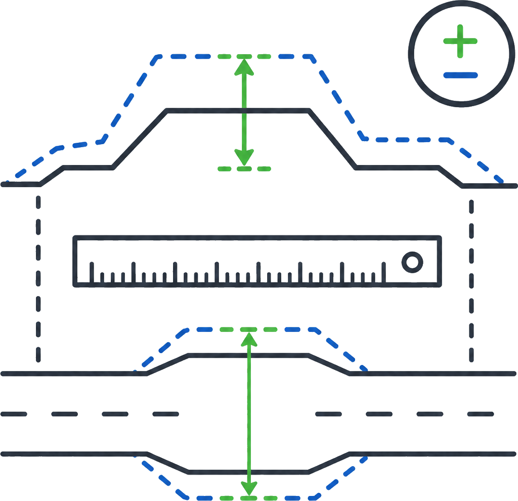
Survey-backed variation measurement can compare original design, revised design, existing ground, completed works and field pickups to support commercial discussions with clear quantity data.
Synergy Surveys can assist with final volume checks, surface comparisons, stockpile reconciliation and quantity data that supports handover, claims and project records.
Existing surface data, feature and contour survey information, UAV capture, design comparisons and early quantity checks before works begin.
Progress pickups, surface updates, stockpile surveys, UAV capture, earthworks volumes and quantity reporting as works are completed.
Survey-backed quantities to support progress claims, variation measurement, commercial discussions and comparison between design and actual site conditions.
Final surface checks, completed works quantities, stockpile reconciliation, as-built data and quantity records for project close-out.
Quantities can make or break a project. If the BOQ, tender quantities or existing ground surface are wrong at the start, the pricing, programme, QMRs, forecasting, mass haul planning and material management can all be working from bad information before the job has properly started.
As construction progresses, quantities need to keep up with the site. Progress claims, variation measurement, stockpile reconciliation, cut and fill reporting, earthworks balances and final account support all depend on current, survey-backed data rather than rough estimates or outdated surfaces.
Synergy Surveys provides quantity support from tender through to close-out, using field pickups, UAV and LiDAR capture, design surfaces and current site models to produce measured data that estimators, project managers, engineers, contract administrators and commercial teams can rely on.
Bulk earthworks quantities affect haul strategy, plant utilisation, material reuse, spoil, import requirements and programme forecasting.
Survey-backed surfaces, UAV capture, cut/fill comparisons and progress pickups help show what has been moved, what remains, where material is being balanced and whether the earthworks are tracking against the design and commercial allowance.
Roadworks quantities can involve cut and fill, pavement layers, shoulders, batters, drainage tie-ins, access tracks and staged construction areas.
For Main Roads WA, Shire and transport infrastructure projects, measured quantities need to support QMRs, progress claims, forecasting, variation review and as-constructed records. Current survey data helps keep the commercial position tied to what has actually been built on site.
Water, wastewater, drainage and utility projects often involve trenching, backfill, pits, pipes, culverts, service corridors, crossings and constructed surfaces.
As approved Water Corporation surveyors, Synergy Surveys understands the importance of accurate pickups, invert levels, grades, service records and as-constructed data. That survey information can also support quantity checks, progress claims, backfill volumes, variation measurement and final reconciliation.
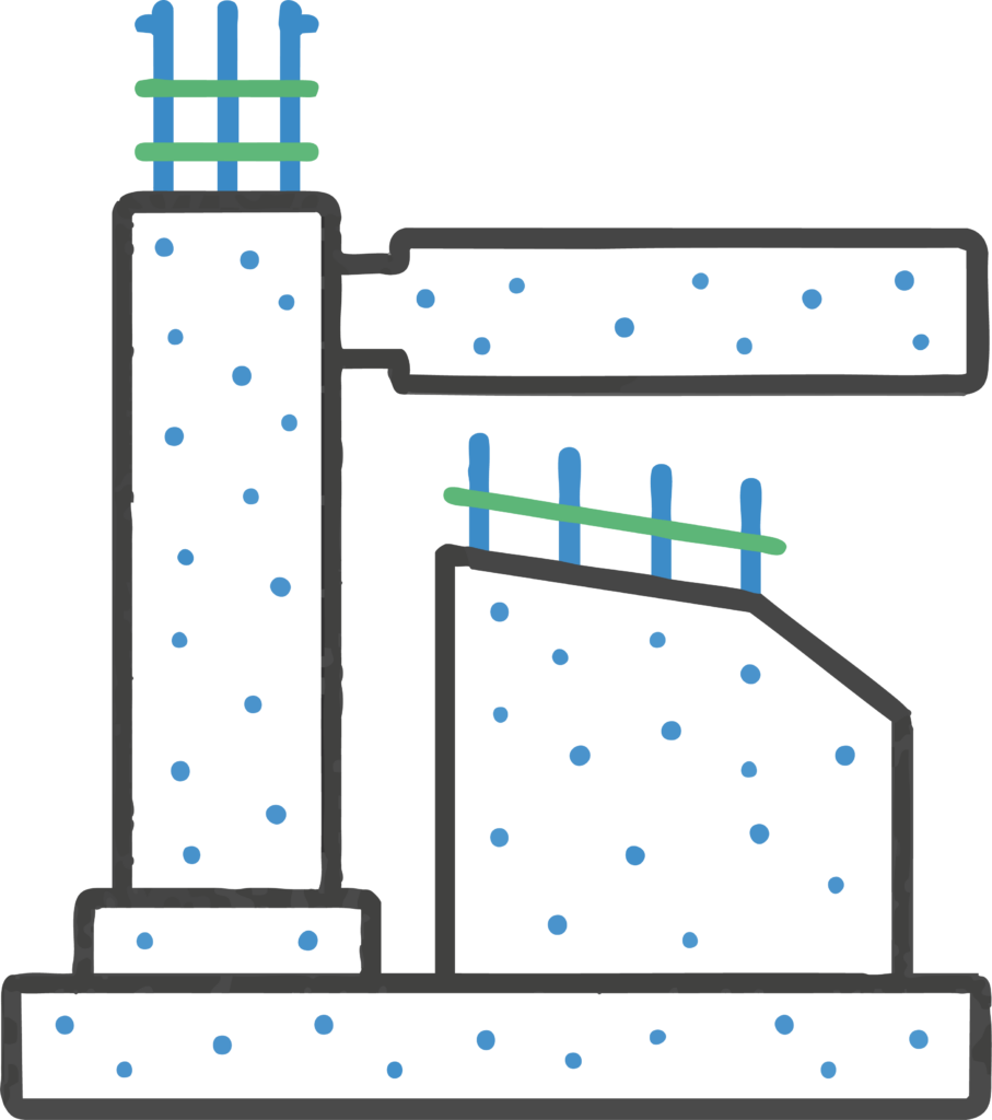
Concrete and structural quantities can be affected by excavation, blinding, pads, slabs, plinths, footings, levels, hold-down bolt locations and design changes.
Survey-backed pickups and verification data help project teams understand what has been set out, poured, checked and recorded, supporting QA, progress reporting, variation review and handover records where concrete and structural works form part of the claim or final account.
Mining and industrial projects often involve large surfaces, processing areas, access roads, pads, stockpiles, services, water infrastructure and multiple contractors working across the same site.
Measured quantities help track material movement, earthworks progress, stockpile changes, contractor claims, variation items and final reconciliation. UAV, LiDAR, field pickups and surface comparisons give commercial teams current data instead of relying on rough estimates or outdated models.
Commercial and development projects often start with existing surface data and early earthworks assumptions, then move into excavation, fill, stockpiles, level changes, drainage, services and final surface checks.
Survey-backed quantities help builders, developers, engineers and commercial teams check tender allowances, manage progress claims, review variations and reconcile completed works against the final site condition.
Bulk earthworks quantities affect haul strategy, plant utilisation, material reuse, spoil, import requirements and programme forecasting.
Survey-backed surfaces, UAV capture, cut/fill comparisons and progress pickups help show what has been moved, what remains, where material is being balanced and whether the earthworks are tracking against the design and commercial allowance.
Roadworks quantities can involve cut and fill, pavement layers, shoulders, batters, drainage tie-ins, access tracks and staged construction areas.
For Main Roads WA, Shire and transport infrastructure projects, measured quantities need to support QMRs, progress claims, forecasting, variation review and as-constructed records. Current survey data helps keep the commercial position tied to what has actually been built on site.
Water, wastewater, drainage and utility projects often involve trenching, backfill, pits, pipes, culverts, service corridors, crossings and constructed surfaces.
As approved Water Corporation surveyors, Synergy Surveys understands the importance of accurate pickups, invert levels, grades, service records and as-constructed data. That survey information can also support quantity checks, progress claims, backfill volumes, variation measurement and final reconciliation.
Project quantities should not be treated as a standalone spreadsheet.
The strongest quantity data comes when existing surfaces, UAV and LiDAR capture, construction pickups, machine control data, utility information and as-built records are all connected to the same survey control and project model.
That gives estimators, project managers, engineers, contract administrators and commercial teams a clearer basis for BOQs, QMRs, progress claims, mass haul planning, variation measurement, material reconciliation and final account review.
Concrete and structural quantities can be affected by excavation, blinding, pads, slabs, plinths, footings, levels, hold-down bolt locations and design changes.
Survey-backed pickups and verification data help project teams understand what has been set out, poured, checked and recorded, supporting QA, progress reporting, variation review and handover records where concrete and structural works form part of the claim or final account.
Mining and industrial projects often involve large surfaces, processing areas, access roads, pads, stockpiles, services, water infrastructure and multiple contractors working across the same site.
Measured quantities help track material movement, earthworks progress, stockpile changes, contractor claims, variation items and final reconciliation. UAV, LiDAR, field pickups and surface comparisons give commercial teams current data instead of relying on rough estimates or outdated models.
Commercial and development projects often start with existing surface data and early earthworks assumptions, then move into excavation, fill, stockpiles, level changes, drainage, services and final surface checks.
Survey-backed quantities help builders, developers, engineers and commercial teams check tender allowances, manage progress claims, review variations and reconcile completed works against the final site condition.
Engineering and construction surveying provides the site control, set-out, progress pickups, QA checks and as-built records that project quantities are measured from.
Reliable field survey data helps keep earthworks volumes, progress claims, variation quantities and final reconciliation tied to what has actually been built on site.
UAV mapping and LiDAR capture allow large areas, stockpiles, batters, pads, haul roads and remote sites to be measured quickly and consistently.
These datasets can be used to update progress surfaces, calculate stockpile volumes, compare design against actual site conditions and support earthworks quantities without relying on outdated pickups or rough estimates.
Feature and contour surveys help establish the starting point for quantity work. Existing ground levels, contours, drainage, services, tie-in points and site constraints all influence tender quantities, BOQ checks, and early earthworks allowances.
Getting the existing surface right at the beginning helps reduce bad assumptions before pricing, planning or construction begins.
Construction pickups, set-out checks, QA verification and as-built survey data show what has actually been built on site.
This field information helps keep progress quantities, variation measurements and final reconciliation tied to the physical works, rather than only the design model or an old surface.
Machine control data, site calibrations and model checks help keep the design surface, field crews and earthmoving plant working from the same information.
When survey control, machine files and progress pickups are aligned, mass haul reporting, cut/fill checks, final trim verification and earthworks balance data become easier to measure and defend.
Synergy Surveys provides survey-backed project quantities across metropolitan, regional and remote Western Australia.
With surveyors living locally across regional WA, we can support faster mobilisation for quantity pickups, UAV capture, stockpile surveys, progress claims and earthworks volume reporting on civil, mining, infrastructure and construction projects.
This is especially useful where quantities need to be checked regularly for QMRs, forecasting, mass haul planning, material reconciliation, progress claims or final account review without waiting for a Perth-based mobilisation.
Project quantities are measured amounts of work, material or volume on a project. In surveying, this usually includes earthworks volumes, stockpile volumes, cut and fill quantities, progress quantities, variation quantities, mass haul data and final quantity reconciliation.
Synergy Surveys prepares project quantities from survey data, UAV and LiDAR capture, field pickups, design surfaces and current site information so the numbers can be checked, explained and used in project reporting.

No. Synergy Surveys does not act as a quantity surveyor or cost consultant.
Our project quantity work is survey-backed measurement data. That may include earthworks volumes, stockpile surveys, BOQ checks, progress quantities, surface comparisons, mass haul support, variation measurement and final quantity reconciliation for contractors, estimators, engineers and commercial teams.Yes. Tender quantities and BOQ checks can be supported with existing surface data, design surface comparisons, early earthworks volumes, material quantity checks and survey-backed information before a project is priced.
This helps contractors, estimators and commercial teams identify quantity assumptions, surface issues, scope gaps and material risks before they become problems during construction.
Yes. Synergy Surveys can provide current surface pickups, UAV capture, LiDAR data, stockpile measurements, cut and fill comparisons and quantity reporting to support progress claims, QMRs, forecasting and commercial reporting.
The aim is to provide measured quantity data that reflects the actual site conditions for the relevant claim period.
Yes. We can measure stockpile volumes for spoil, aggregate, sand, gravel, crushed rock, ore and other site-won or imported materials.
Depending on the site, access and required accuracy, stockpile surveys can be completed using UAV mapping, LiDAR capture or field survey methods. The resulting volume data can support reporting, reconciliation, inventory checks, payment claims and material management.
Yes. Mass haul and earthworks balance depend on reliable existing surfaces, design surfaces, progress pickups and cut/fill comparisons.
Synergy Surveys can provide survey-backed data to help track where material is being cut, filled, reused, imported, stockpiled or removed. This can support haul planning, forecasting, material management, QMRs, progress claims and final earthworks reconciliation.
Yes. Variation quantities often need measured data to show what changed, where it changed and how much additional work or material was involved.
Survey-backed variation measurement can compare existing ground, original design, revised design, completed works and field pickups. This gives contractors and commercial teams clearer information for variation review and commercial discussions.
Yes. Synergy Surveys has experience supporting major Main Roads WA, Shire and transport infrastructure projects where quantities, progress records and as-constructed information need to align with project requirements.
Roadworks quantities can include earthworks volumes, pavement areas, drainage tie-ins, access tracks, stockpiles, progress pickups, variation quantities and final reconciliation data.
The information required depends on the project and the quantity being measured.
Useful information can include the site location, design drawings, design surfaces, previous survey data, UAV data, machine control files, BOQ items, claim period, stockpile areas, material types, boundaries, reporting format and any client-specific deliverable requirements.
Yes. Synergy Surveys provides project quantity support across Perth, regional and remote Western Australia.
With surveyors living locally across regional WA, we can assist with faster mobilisation for stockpile surveys, UAV capture, progress pickups, earthworks volumes, mass haul checks and quantity reporting on civil, mining, infrastructure and construction projects.
Accuracy depends on the survey method, site conditions, surface quality, design information, material type and reporting requirements.
Synergy Surveys uses appropriate field survey, UAV, LiDAR and surface modelling methods for the project. We also make sure the basis of measurement is clear, including what surface data, design files, boundaries and pickup dates were used.
Synergy Surveys provides project quantity support for civil, mining, infrastructure, commercial and regional WA projects, including BOQ checks, tender quantities, earthworks volumes, stockpile surveys, mass haul support, progress claims, QMR data, variation measurement and final quantity reconciliation.