Engineering and construction surveying keeps a project tied to the design from site establishment through to final handover.

Survey control, construction set-out, earthworks pickups, machine control support, QA verification and as-built records all need to align with the latest design, site conditions and project requirements.

Synergy Surveys supports civil, mining, infrastructure, commercial and regional WA projects, including Main Roads WA works, Water Corporation projects, Shire works, roads, drainage, services, concrete structures, earthworks and mining infrastructure.

Our survey data helps contractors, engineers, supervisors and project teams build, measure, verify and close out the work with accurate levels, positions, quantities and handover records.

Survey Control

Site control networks, GNSS control, benchmarks, gridlines, total station control and verification checks for construction and civil works.

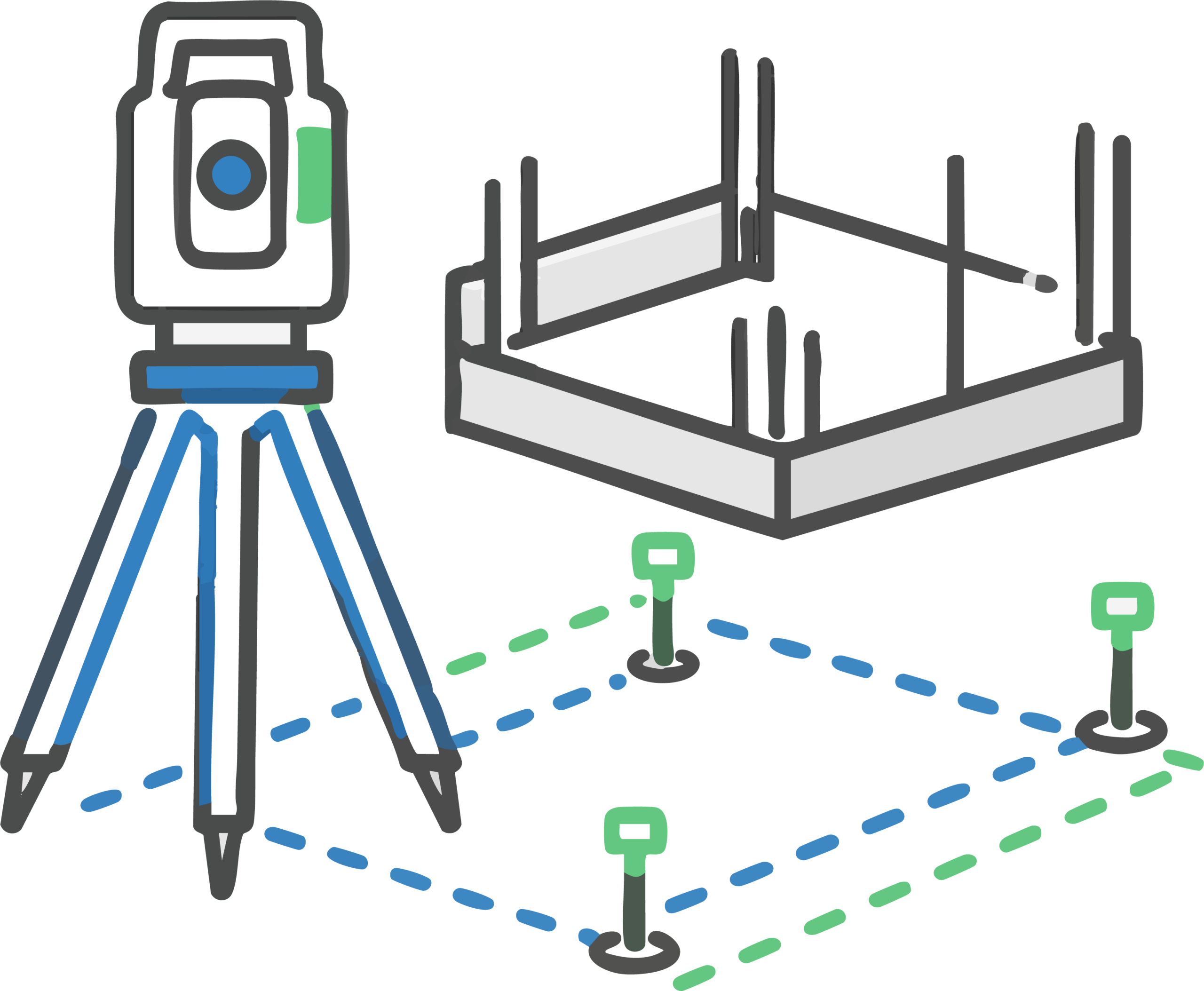
Construction Set-Out

Set-out for earthworks, roads, drainage, services, concrete, structures, pavements, commercial works and project-specific design requirements.

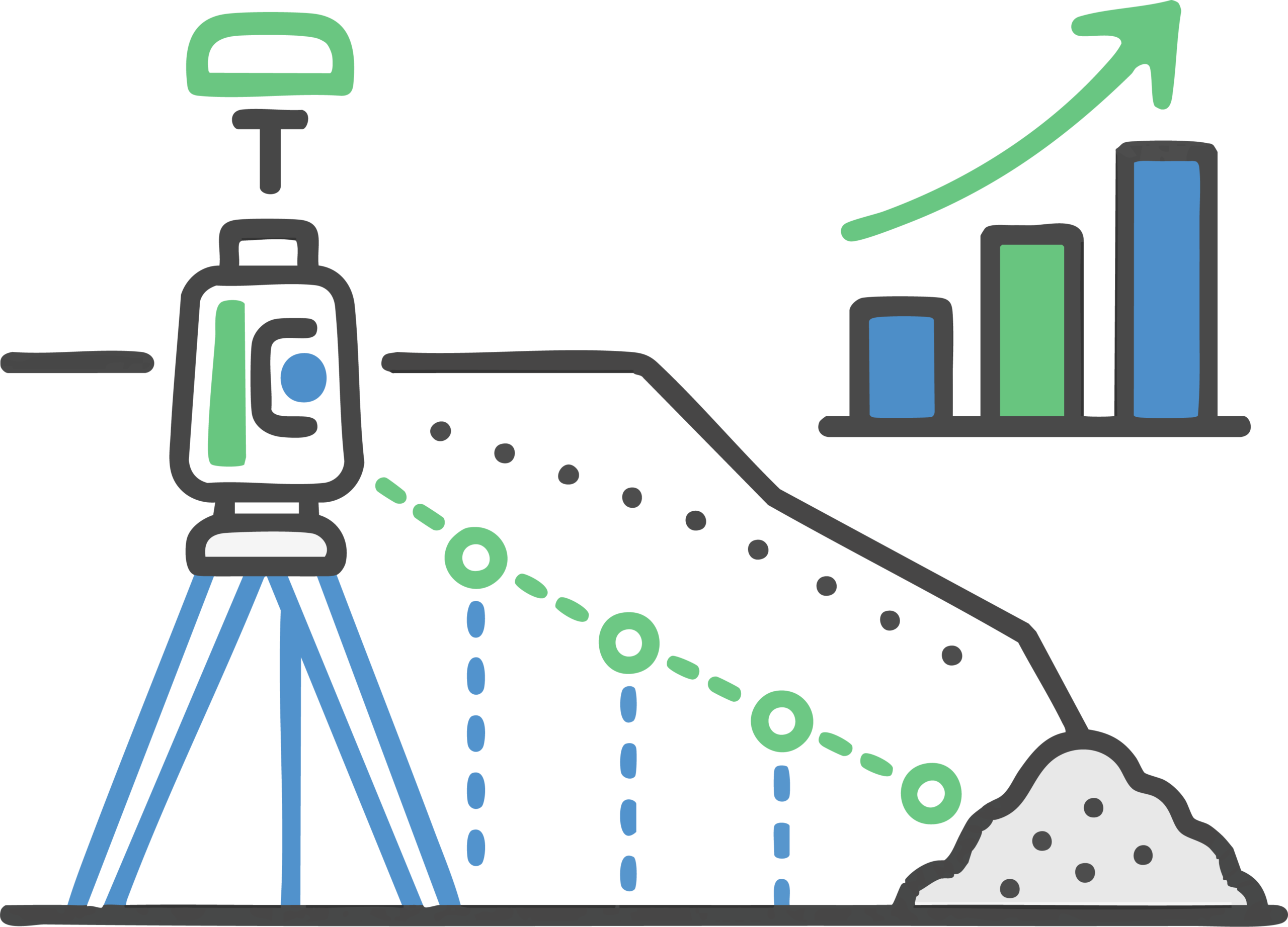
Earthworks and Pickups

Surface pickups, progress surveys, cut/fill checks, stockpile measurements and survey data for reporting, claims and project controls.

Site Solutions | Machine Control | Synergy Surveys

Machine Control Support

Model checks, GNSS support, site calibrations, base stations, machine files and survey support for earthworks and civil construction crews.

As-Built Survey Records

As-built and as-constructed survey data, final surface checks, drawings, records and handover deliverables for contractors, engineers and asset owners.

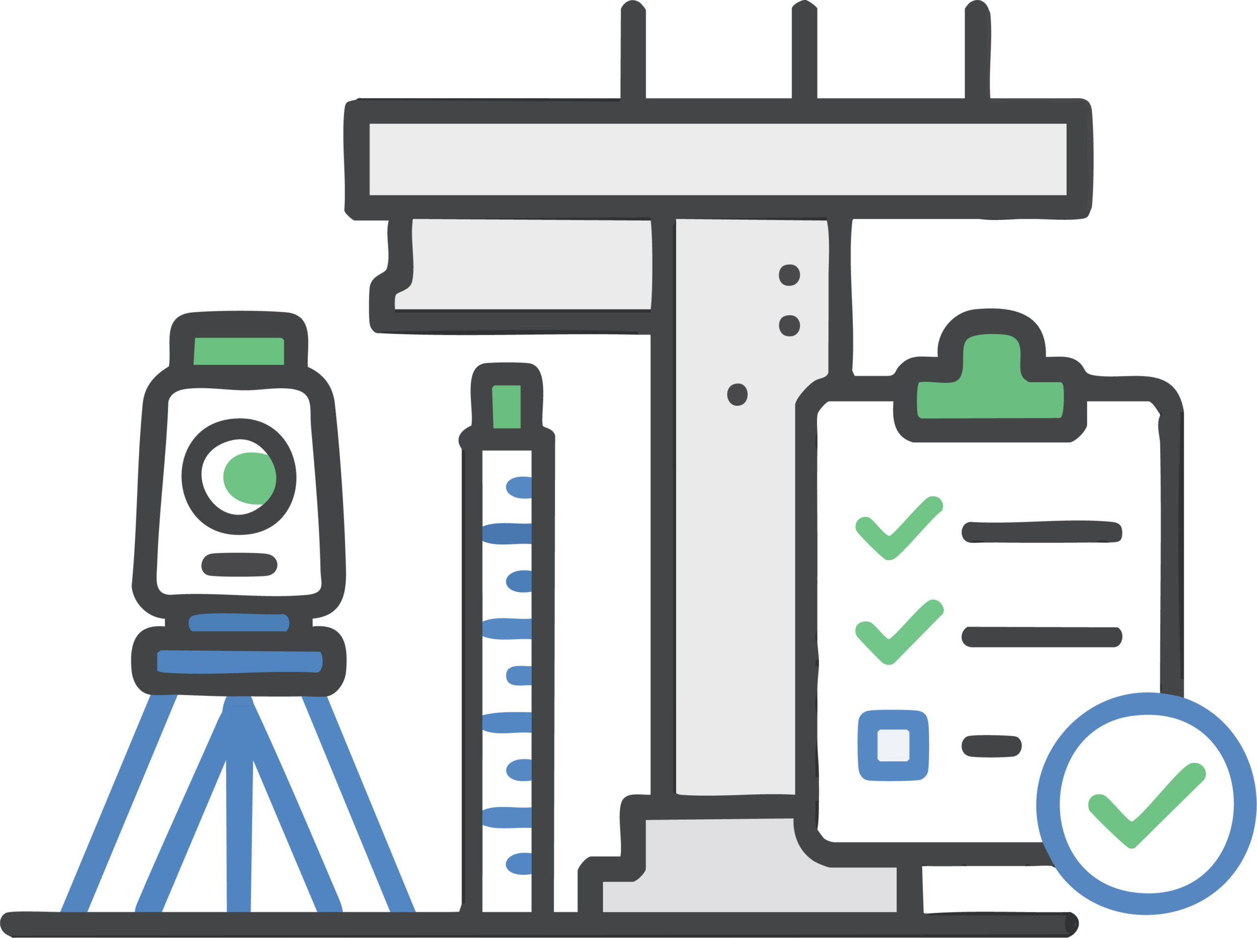
QA & Handover

Survey checks for levels, locations, constructed surfaces, services, concrete, pavements and other project-specific quality requirements.

Synergy Surveys provides engineering and construction surveying services for contractors, builders, engineers, developers, mining clients and asset owners who need reliable survey support throughout the job.

 Our work covers the survey requirements that sit behind civil, mining, infrastructure and commercial construction projects: 

establishing site control, setting out works, checking design data, supporting machine control, picking up progress, verifying constructed levels, measuring quantities and preparing as-built survey records.

The objective is to keep survey information accurate, current and usable for the people relying on it in the field, in machines, in project reporting and at handover.

Surveying for Civil, Mining, Infrastructure and Commercial Construction

Major construction and infrastructure projects are not just set-out jobs.

The survey work needs to fit the project specification, the design model, the control network, the machine control workflow, the QA process, the quantity records and the final handover requirements.

Synergy Surveys supports contractors, builders, engineers, mining clients, asset owners and local government projects with survey data that is prepared for the systems used to build, measure, verify and close out the work.

Bulk earthworks are controlled by surfaces, models and tolerances. From the first existing surface pickup through to final trim, survey data is used to check cut and fill, compare design against actual, support machine control and calculate earthworks quantities.

When crews are chasing final levels, falls and millimetre tolerances, the control network, machine files, surface pickups and reporting need to be accurate and current. Synergy Surveys supports earthworks with UAV capture, surface modelling, cut/fill checks, final trim verification and volume reporting.

Synergy Surveys has experience supporting Main Roads WA and local government road projects, where survey control, digital ground survey data, road geometry, pavement layers, drainage, utilities, earthworks volumes and as-constructed records all need to line up with project requirements.

For road upgrades, pavements, access tracks and Shire works, we support design assistance, construction set-out, formation checks, pavement pickups, machine control support, progress quantities, QA records and final handover survey data.

As approved Water Corporation surveyors, Synergy Surveys understands the process behind water, wastewater, drainage and utility infrastructure projects.

Pipes, pits, culverts, crossings, pump stations, service corridors and drainage structures need accurate position, level, grade, asset detail and as-constructed records. We support these works with site control, precise setout, invert and grade checks, utility locating, LiDAR capture, As Built drawings and handover survey data prepared for contractor, engineer, client and asset-owner requirements.

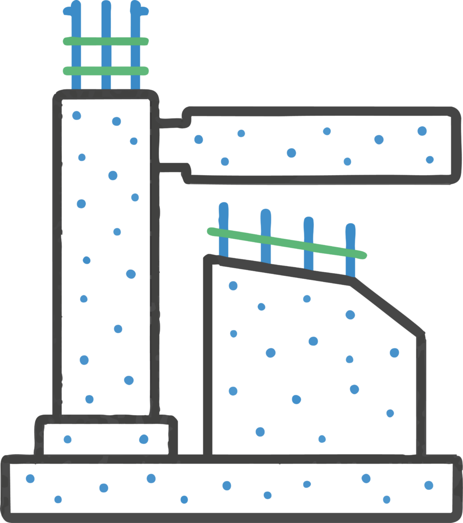
Concrete, structural and hold-down bolt surveying demands high-order accuracy. Once bolts are cast in and concrete has set, incorrect positions can create expensive delays, clashes and rework.

Synergy Surveys uses rigorous check procedures, verified site control and high-precision survey equipment to make sure pads, slabs, formwork, plinths, columns, hold-down bolts and structural interfaces are set out to the latest design. We support concrete works with set-out, level checks, alignment verification, QA pickups and as-built survey records before the work becomes permanent.

Mining and industrial projects often involve processing areas, fixed plant, access roads, pads, services, water infrastructure, concrete works and multiple contractors working around live project constraints.

Synergy Surveys supports mining and industrial infrastructure with survey control, construction set-out, UAV and LiDAR capture, machine control support, progress pickups, project quantities, QA checks and as-built records that can be used by supervisors, engineers, commercial teams, contractors and clients throughout construction and handover.

Feature and contour surveys are often the starting point for commercial and development projects. The survey data forms the base for planning, design, drainage, earthworks, access, services coordination and construction staging.

Synergy Surveys captures site levels, contours, visible features, drainage structures, services, tie-in points and existing site constraints so designers, engineers, developers and builders are working from reliable information before construction begins. As the project progresses, we can support the work with site control, set-out, level checks, progress pickups and as-built survey records.

Bulk earthworks are controlled by surfaces, models and tolerances. From the first existing surface pickup through to final trim, survey data is used to check cut and fill, compare design against actual, support machine control and calculate earthworks quantities.

When crews are chasing final levels, falls and millimetre tolerances, the control network, machine files, surface pickups and reporting need to be accurate and current. Synergy Surveys supports earthworks with UAV capture, surface modelling, cut/fill checks, final trim verification and volume reporting.

Roadworks Surveying Western Australia

Synergy Surveys has experience supporting Main Roads WA and local government road projects, where survey control, digital ground survey data, road geometry, pavement layers, drainage, utilities, earthworks volumes and as-constructed records all need to line up with project requirements.

For road upgrades, pavements, access tracks and Shire works, we support design assistance, construction set-out, formation checks, pavement pickups, machine control support, progress quantities, QA records and final handover survey data.

As approved Water Corporation surveyors, Synergy Surveys understands the process behind water, wastewater, drainage and utility infrastructure projects.

Pipes, pits, culverts, crossings, pump stations, service corridors and drainage structures need accurate position, level, grade, asset detail and as-constructed records. We support these works with site control, precise setout, invert and grade checks, utility locating, LiDAR capture, As Built drawings and handover survey data prepared for contractor, engineer, client and asset-owner requirements.

Concrete, structural and hold-down bolt surveying demands high-order accuracy. Once bolts are cast in and concrete has set, incorrect positions can create expensive delays, clashes and rework.

Synergy Surveys uses rigorous check procedures, verified site control and high-precision survey equipment to make sure pads, slabs, formwork, plinths, columns, hold-down bolts and structural interfaces are set out to the latest design. We support concrete works with set-out, level checks, alignment verification, QA pickups and as-built survey records before the work becomes permanent.

Mining and industrial projects often involve processing areas, fixed plant, access roads, pads, services, water infrastructure, concrete works and multiple contractors working around live project constraints.

Synergy Surveys supports mining and industrial infrastructure with survey control, construction set-out, UAV and LiDAR capture, machine control support, progress pickups, project quantities, QA checks and as-built records that can be used by supervisors, engineers, commercial teams, contractors and clients throughout construction and handover.

Feature and contour surveys are often the starting point for commercial and development projects. The survey data forms the base for planning, design, drainage, earthworks, access, services coordination and construction staging.

Synergy Surveys captures site levels, contours, visible features, drainage structures, services, tie-in points and existing site constraints so designers, engineers, developers and builders are working from reliable information before construction begins. As the project progresses, we can support the work with site control, set-out, level checks, progress pickups and as-built survey records.

Related Surveying Services in Western Australia

Engineering and construction surveying rarely sits in isolation. A project that needs set-out or survey control will often also needs quantities, UAV or LiDAR capture for progress, feature and contour data for design changes, utility pickups around services, and machine control support for earthworks crews.

Synergy Surveys keeps these related survey services connected so the same control, site data and project records can support design, construction, reporting and handover. That reduces double handling, conflicting information and gaps between the field crew, machines, engineers, commercial teams and clients.

The services below are commonly used alongside engineering and construction surveying on civil, mining, infrastructure, commercial and regional WA projects.

Engineering Surveyors Across Perth and Regional Western Australia

Synergy Surveys provides engineering and construction surveying support across metropolitan, regional and remote Western Australia.
With surveyors living locally across regional WA, we can support projects with faster mobilisation, local site knowledge and crews who understand the access constraints, site conditions and practical requirements of working outside the Perth metro area.
Our regional capability supports civil construction, Main Roads WA and Shire road works, Water Corporation infrastructure, mining projects, commercial developments and remote infrastructure works where reliable survey support is needed on site.

Engineering and Construction Surveying FAQs

What does an engineering surveyor do on a construction project?

An engineering surveyor provides the control, set-out, checks, measurements and as-built data needed to build work in the correct location, level and alignment. On construction projects this can include site control, set-out, pickups, machine control support, QA checks, progress surveys and final as-built records.


Do you provide construction set-out?

Yes. Construction set-out is our bread and butter. It is one of the disciplines where we specifically specialize. 

Can you support machine control?

Yes. We assist with GNSS control, base stations, site calibrations, model checks, machine files and survey support for earthworks and civil construction crews.

Do you provide as-built surveys?

Yes. We provide as-built and as-constructed survey records, final surface checks, QA pickups and handover survey data for contractors, engineers, clients and asset owners.

Can you assist with quantities?

Yes. We provide survey-backed earthworks quantities, stockpile measurements, surface comparisons, progress quantities, tender checks and variation support.

Do you work on regional WA projects?

Yes. We provide as-built and as-constructed survey records, final surface checks, QA pickups and handover survey data for contractors, engineers, clients and asset owners.

Do you provide cadastral or boundary surveys?

No. Synergy Surveys specialises in precise Surveying methods for construction and engineering applications. 

Need Engineering or Construction Survey Support?

Send through the site location, project type, required survey area and any council, builder, designer or engineer requirements.