Construction Surveying for the KRRE Wind Farm
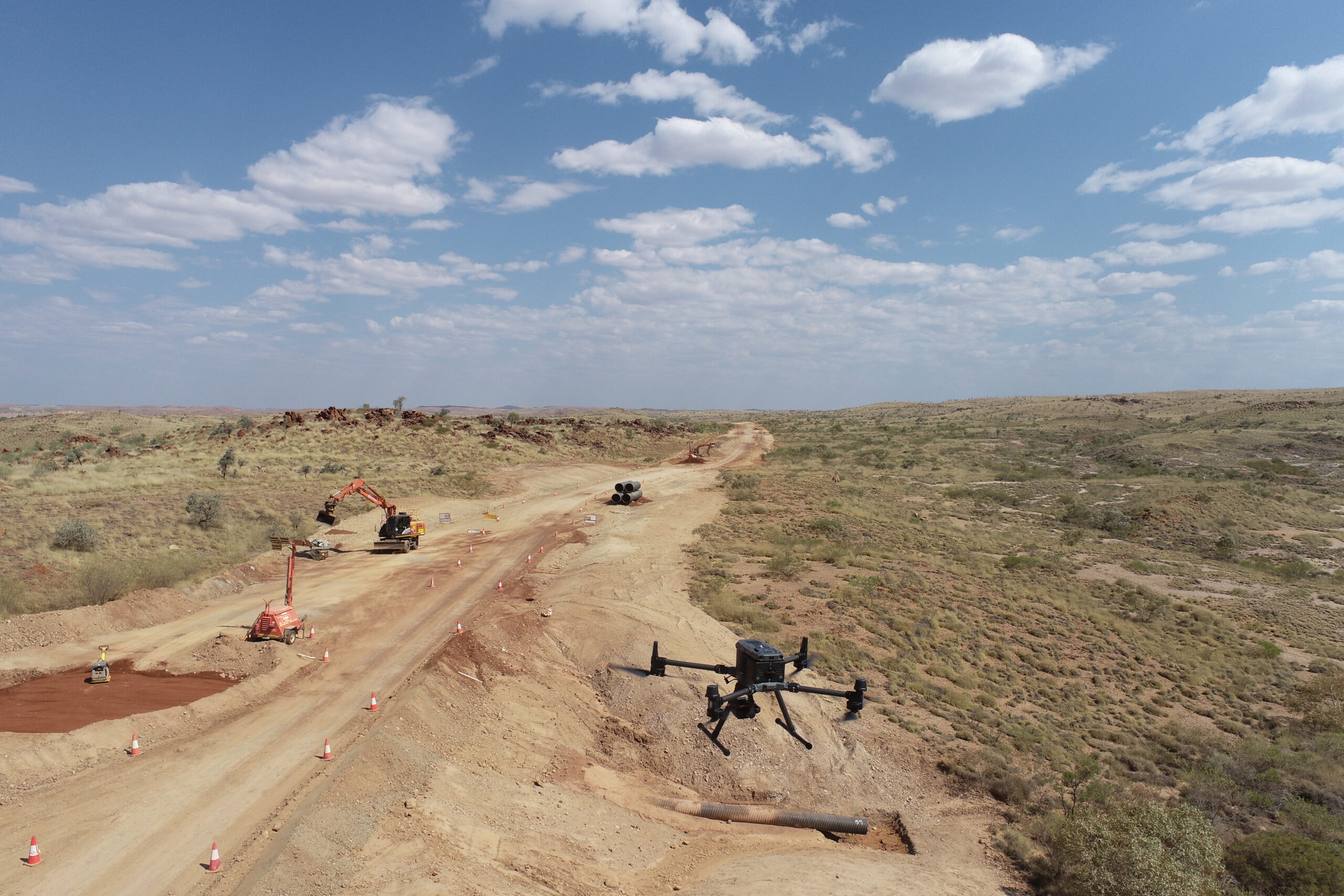
Engineering, construction and UAV surveying support delivered for Westforce Construction on the civil works for the KRRE Project near Kalgoorlie-Boulder, supporting renewable energy infrastructure delivery in the Goldfields.
Project: KRRE Project – Wind Farm Civil Works
Clients: Westforce Construction
End Client: Zenith Energy / Northern Star Resources
Location: Kalgoorlie-Boulder – Goldfields, WA
Status: Ongoing (commenced September 2026)
Synergy Surveys Role: Full-Scope Surveying Services Provider
Project Overview
Synergy Surveys is providing the dedicated site survey service for Westforce Construction on the KRRE Project near Kalgoorlie-Boulder, supporting the civil works for a new wind farm in the Goldfields with a full-time survey team for the duration of construction.
The works, delivered for Zenith Energy and Northern Star Resources, include 32 wind turbine generator footings and hardstands, approximately 29 kilometres of access roads, and the benches for the substation, battery energy storage system, operation and maintenance facility and construction laydown areas.
Our survey support spans the earthworks and structural packages running concurrently, including the project survey control network and boundary verification, aerial LiDAR survey, a dedicated GNSS network and machine control support for the GPS-guided earthmoving fleet, structural setout for the turbine foundations, weekly drone surveys with volume and progress reporting, a cloud-based platform giving the project team live access to survey information, and certified as-built records through to handover.
Surveying Services Delivered
Synergy Surveys is delivering an integrated survey service across the KRRE civil works, keeping the earthmoving fleet, structural crews and project team working from the same accurate, current information.
Survey Control & Boundary Verification
Establishment, verification and maintenance of the project-wide survey control network on the project coordinate system and datum, with permanent control marks, control reports, routine validation and verification of the project boundaries against the design information.
Aerial Survey – LiDAR
Aerial LiDAR survey of the project area, producing classified point clouds, digital terrain models, contour plans and ground surface models for design validation and earthworks volume reporting.
GNSS Network & Machine Control
A dedicated GNSS network servicing the GPS machinery and survey equipment on site across the full project footprint, with machine control models for grading, drainage, batters and roads built from the approved design, installed in the nominated plant and kept current through design revisions and regular field checks.
Earthworks Setout & Volumes
Setout and conformance surveys for access tracks, hardstands, benches, drainage and laydown areas, with cut and fill quantities, moved volumes and design compliance reporting across the earthworks programme.
Structural Setout & QA
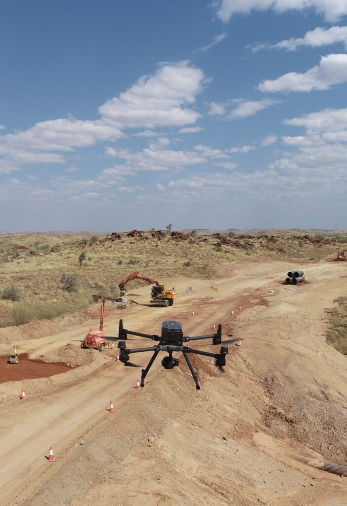
Robotic total station setout and verification of the wind turbine generator foundations, anchor bolt assemblies, precast elements and reinforcement, with dimensional compliance reports and as-built records at hold points and completion milestones.
Weekly Drone Surveys & Reporting
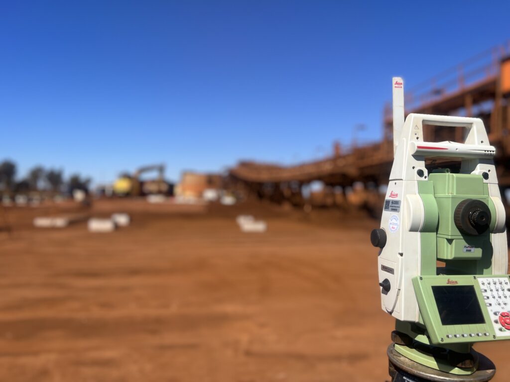
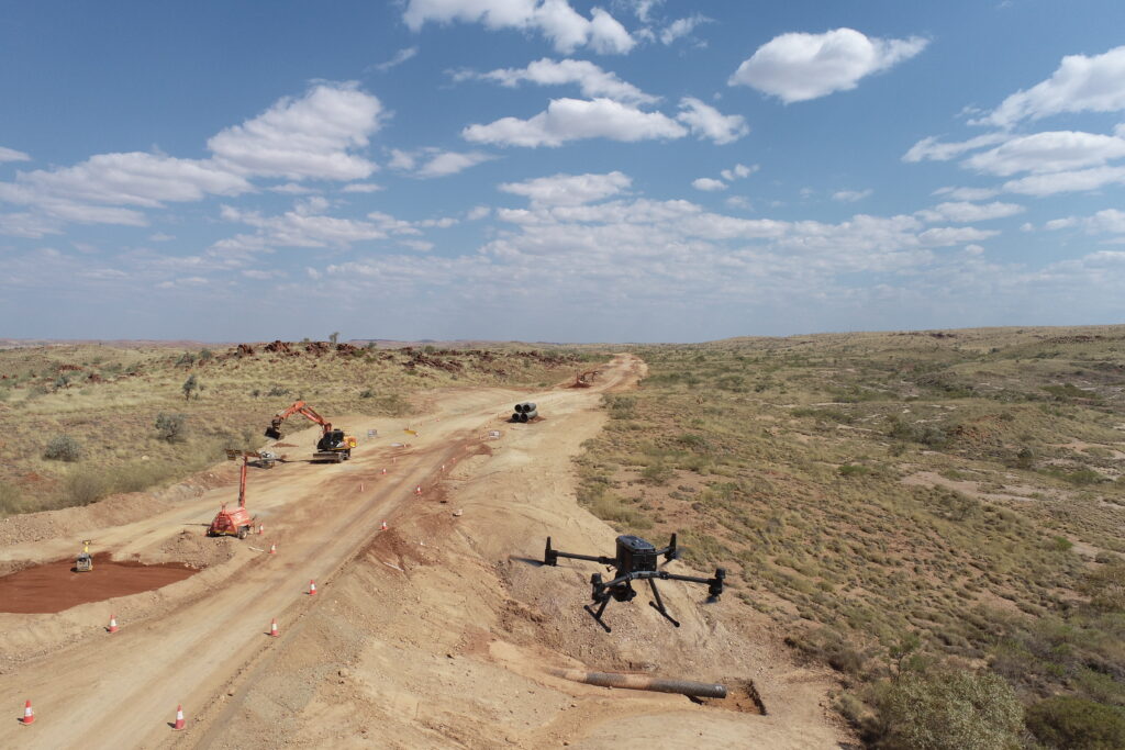
Weekly UAV surveys across all active work areas capturing earthworks progress, stockpiles and material movement, delivering orthomosaic imagery, point clouds, elevation models, volume calculations and weekly and monthly progress reports.
Live Data Platform & As-Built Handover
A cloud-based digital engineering platform giving engineers, supervisors and management live access to current survey surfaces, drone outputs, design-versus-actual comparisons and progress quantities, followed by certified as-built surveys of the completed works and end-of-project survey handover.
Supporting Renewable Energy Construction in the Goldfields
Synergy Surveys supports contractors delivering large-scale civil and energy infrastructure in the Goldfields, where long access road corridors, large earthworks packages and precise structural construction run side by side across a wide project footprint.
Our site-based team gives Westforce Construction one consistent survey workflow from site establishment through to as-built handover, with reliable control, current machine control data and regular progress measurement keeping every work front coordinated.
Survey Support for Renewable Energy and Infrastructure Projects
From wind and solar farms to battery storage, substations and the roads that connect them, Synergy Surveys provides survey control, machine control support, construction setout, UAV surveying, quantity reporting and as-constructed records for contractors delivering energy infrastructure throughout regional Western Australia.
Need Construction Surveyors for a Renewable Energy or Civil Project?
Synergy Surveys provides practical engineering, construction and UAV surveying support for wind farms, solar farms, civil infrastructure and remote industrial projects throughout the Goldfields and regional Western Australia.