
Engineering and construction surveying support delivered for Rio Tinto’s Coastal Water Supply Sustaining Project in Karratha, supporting infrastructure delivery through NRW Civil & Mining and Brockman Engineering.
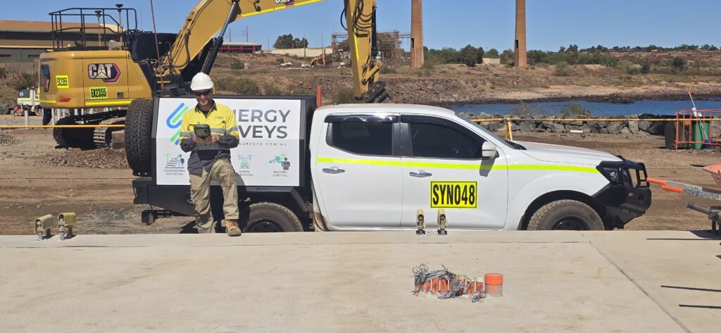
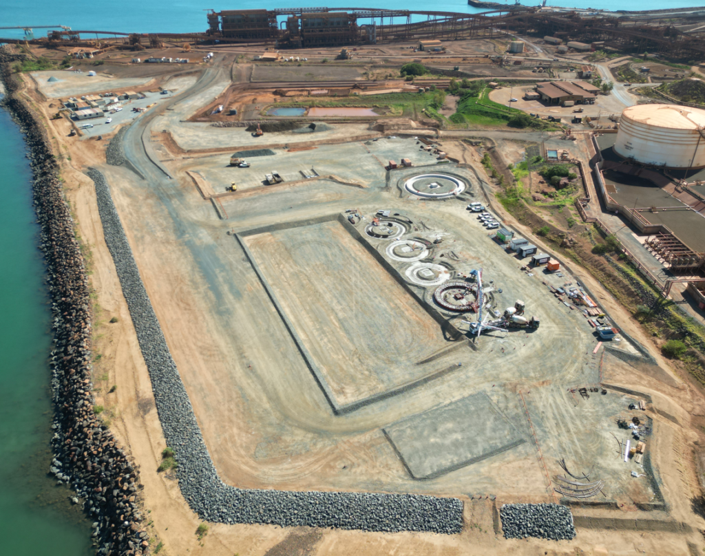
Synergy Surveys is supporting construction delivery at Parker Point in Dampier, providing engineering and construction surveying services for contractor packages on the Coastal Water Supply Sustaining Project.
Official project material describes a seawater reverse osmosis desalination plant within Rio Tinto’s existing Parker Point port operations, with an initial nominal capacity of 4 gigalitres per year and potential expansion to 8 gigalitres. Public project information also identifies major civil, intake, treatment, piping and bulk water tank packages across the wider works.
Our survey support spans civil, concrete, structural, mechanical and piping scopes, including survey control, construction setout, verification, as-constructed surveys, design evaluation and project quantity reporting.
Synergy Surveys delivers practical construction surveying support across active work fronts, helping contractors maintain accurate setout, verification and project reporting throughout construction.
Establishment and maintenance of survey control networks to support accurate construction setout, verification and ongoing project delivery.
Setout support for civil earthworks, concrete structures, access works, mechanical installations and piping-related construction activities.
Verification surveys, tolerance checks and as-constructed reporting to support quality assurance, compliance and project handover requirements.
Project quantity calculations and volumetric reporting to support earthworks tracking, material movement and progress claims
Synergy Surveys supports contractors working across remote WA construction environments where accuracy, responsiveness and clear communication are critical.
Our experience across Pilbara infrastructure projects allows us to integrate with site teams, engineers and contractors delivering complex civil, structural and industrial construction works.
By combining ground survey, UAV aerial mapping and practical construction reporting, Synergy Surveys provides reliable spatial data that supports efficient decision-making on active project sites.
As additional contractors and subcontractors become involved in later packages of the Coastal Water Supply Sustaining Project, Synergy Surveys is positioned to provide responsive construction surveying support across civil, structural, mechanical, piping, earthworks and infrastructure-related scopes.
Our team can assist future package contractors with mobilisation, survey control, construction setout, UAV aerial surveying, QA verification, as-constructed surveys and project quantity reporting throughout Karratha, Dampier and the Pilbara.
Synergy Surveys provides practical engineering, construction and UAV surveying support for civil, industrial and remote infrastructure projects throughout Karratha, Dampier and regional Western Australia.
From survey control and construction setout through to UAV aerial surveying, QA verification and project quantity reporting, our team delivers responsive survey support tailored to active construction environments.